Login

Forgot your login?

Cookies have to be accepted!
Your browser's cookie functionality is disabled. Please enable this functionality.

Not a member yet?

Register now
Login

Available for registred users only

Log in to use this feature.

Forgot your login?

Cookies have to be accepted!
Your browser's cookie functionality is disabled. Please enable this functionality.

Not a member yet?

Register now
Filter
Categories
Advanced filters
  • Distance (km)
  • Height
Save filters Reset filter

TrackRank

QRCode

Technical data

Distance43,9 km Height837 m Way down837 m Duration00:00 h:m Date07.11.2010
Scores Author Landscape Fun factor Fitness Technique

Statistics

607 Views Scores 82 Downloads Average
Rate
  • Track data sheet
  • Directions
  • Downloads

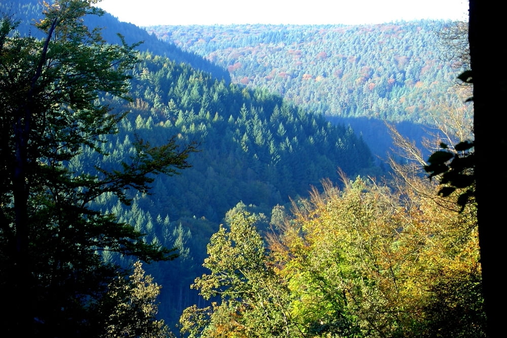
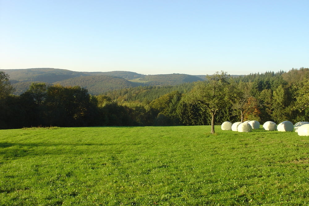
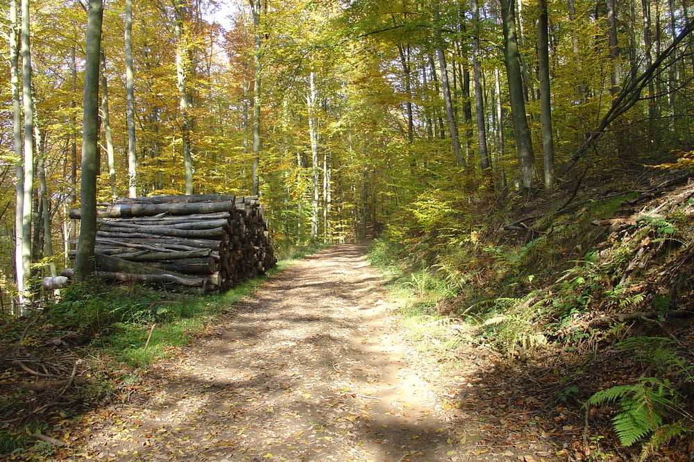
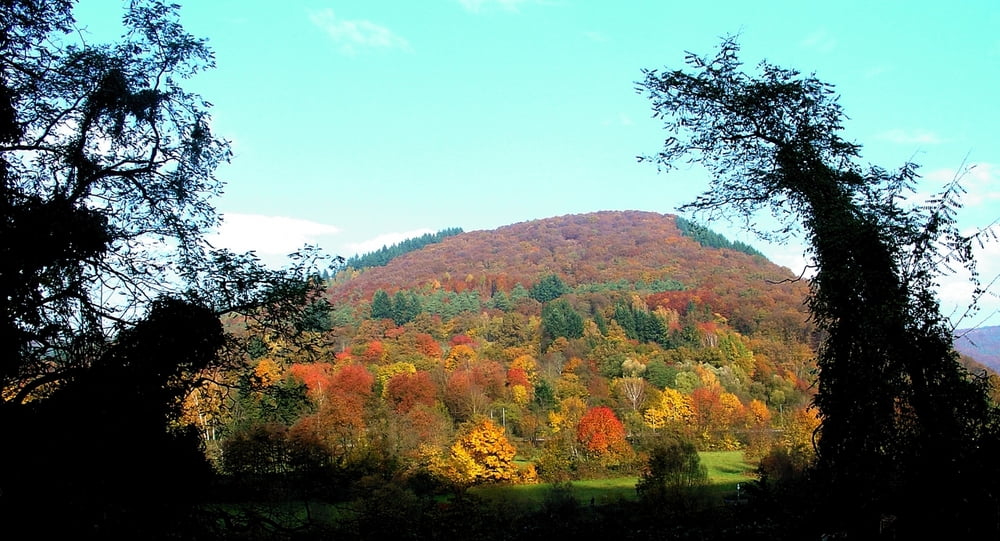
Diese Tour streift alle Ortsteile Neckargemünds, verläuft aber weitgehend auf Wald-und Wirtschaftswegen. Herrliche Weitblicke übers Neckartal und den Kraichgau machen die Tour zum Genuss.

Alles weitere auf www.rudis-radladen.de (tour6)

Tour gallery

Tour map and elevation profile

  • Open Street Map
  • Google
Minimum height 93 m Maximum height 313 m Detailed view

More about the tour author

tifi224
Member since 2010

Send private message

Comments

Los geht es in Neckargemünd bei Rudis Radladen.

GPS tracks

Trackpoints
  • GPX / Garmin Map Source (gpx) download
  • TCX / Garmin Training Center® (tcx) download
  • CRS / Garmin Training Center® (crs) download
  • Google Earth (kml) download
  • G7ToWin (g7t) download
  • TTQV (trk) download
  • Overlay (ovl) download
  • Fugawi (txt) download
  • Kompass (DAV) Track (tk) download
  • Track data sheet (pdf) download
  • Original file of the author (gpx) download

More about the tour author

tifi224
Member since 2010

Send private message
Share track
Add to my favorites
Remove from my favorites
Edit tags
My score
Rate
Track: Rundtour um Neckargemünd
Type: Mountain bike
Distance: 43,9 km
Evaluated on:
Duration:
Day(s)
Hour(s)
Minute(s)
Score: Landscape Fun factor Fitness Technique