


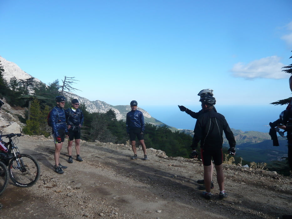
Von Tekirova auf Asphalt bis zum Abzweig rechts Richtung Beycik. Von hier hinauf bis zum 2. "Supermarkt" in Beycik. Hier die Möglichkeit einer Rast und Einkehr mit kleiner Stärkung für die nächsten 800 Hm auf das Plateau. Der Streckenabschnitt ist überwiegend leicht geschottert. Wer früh genug dran ist kann dann oben angekommen noch die Umrundung des Tahtali dranhängen.
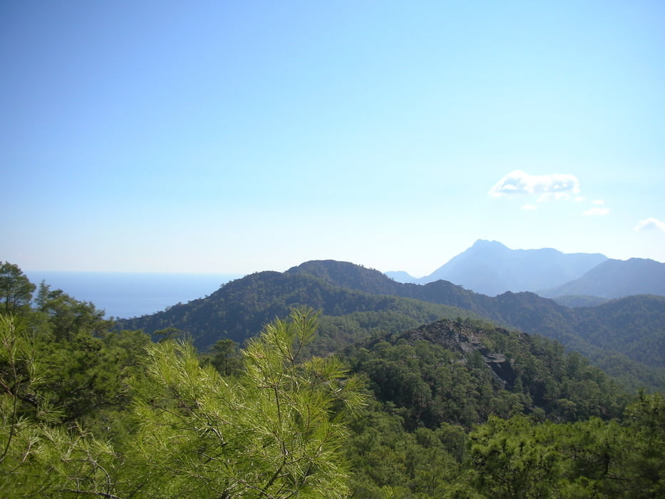
Auf dem Weg hoch Richtung Plateau schöne Aussichten auf die Buchten und den Tathali.
Tour gallery


Tour map and elevation profile
Minimum height 47 m
Maximum height 1529 m
More about the tour author

|
putzer0509 |
Comments

GPS tracks
Trackpoints-
GPX / Garmin Map Source (gpx) download
-
TCX / Garmin Training Center® (tcx) download
-
CRS / Garmin Training Center® (crs) download
-
Google Earth (kml) download
-
G7ToWin (g7t) download
-
TTQV (trk) download
-
Overlay (ovl) download
-
Fugawi (txt) download
-
Kompass (DAV) Track (tk) download
-
Track data sheet (pdf) download
-
Original file of the author (tcx) download
More about the tour author
|
|
putzer0509 |
Add to my favorites
Remove from my favorites
Edit tags
Open track
My score
Rate