


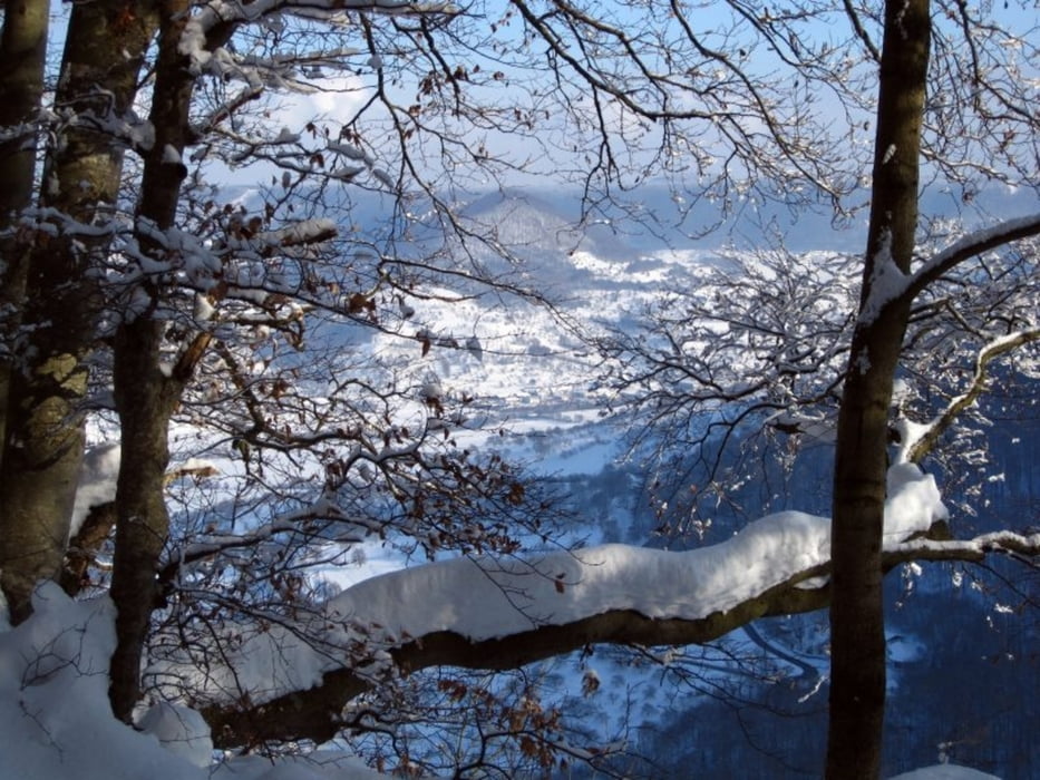
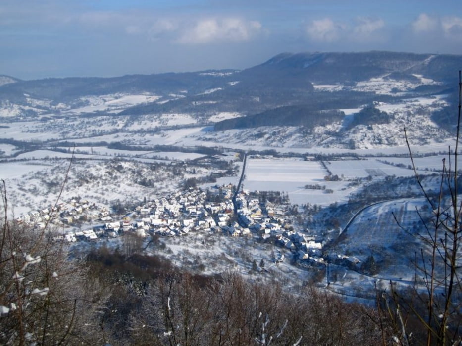
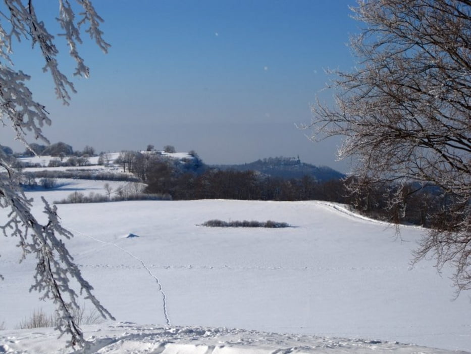
Vom Wanderparkplatz bei N48 35.057 E9 31.966 gehts am Bach entlang durchs Zipfelbachtal. Kurz vor Erreichen der Landstraße biegt der Weg rechts ab und führt am Rand des Randecker Maars entlang weiter zum Mörikefels. Nach einer kurzen Überquerung der Hochebene biegt rechts der Abstieg zum Pferch ab.
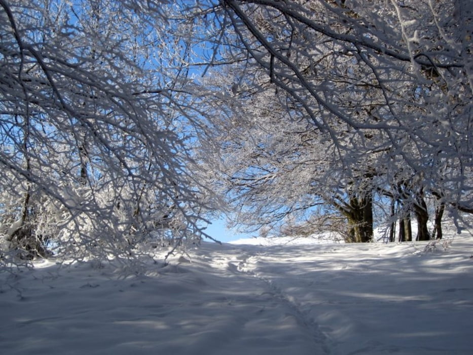
Die Tour ist kurz und trotz der Höhenmeter nicht sonderlich anstrengend. Dafür gibt es ein paar mit Schneeschuhen nicht ganz so einfache Stellen.
Further information at
http://schwaebischealbnatur.blogspot.com/2010/08/kernzone-morikefels-im-biospharengebiet.htmlTour gallery
Tour map and elevation profile
Minimum height 491 m
Maximum height 820 m
More about the tour author
|
|
piggeldy |
Comments

Wanderparkplatz in Hepsisau bei N48 35.057 E9 31.966
GPS tracks
Trackpoints-
GPX / Garmin Map Source (gpx) download
-
TCX / Garmin Training Center® (tcx) download
-
CRS / Garmin Training Center® (crs) download
-
Google Earth (kml) download
-
G7ToWin (g7t) download
-
TTQV (trk) download
-
Overlay (ovl) download
-
Fugawi (txt) download
-
Kompass (DAV) Track (tk) download
-
Track data sheet (pdf) download
-
Original file of the author (gpx) download
More about the tour author
|
|
piggeldy |
Add to my favorites
Remove from my favorites
Edit tags
Open track
My score
Rate