


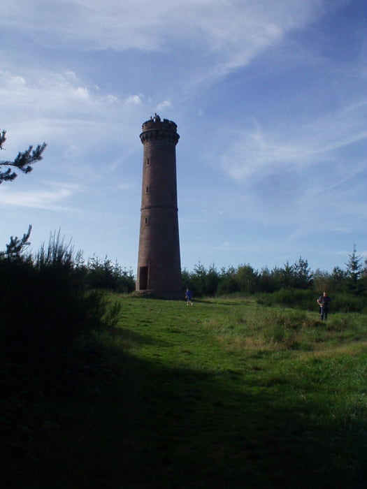
Drei Burgen, zwei Türme, eine Höhle und viel drumherum. Ca. acht Kilometer misst die Strecke, optimal für Familien auch mit kleineren Kindern. Es gibt immer was zu klettern, Felsen und Burgruinen zu erkunden und natürlich viel zu sehen.
Schwierigkeitsgrad: Wanderwege, Trampelpfade, feste Wanderschuhe empfohlen.
Further information at
http://www.adventurer.deTour gallery

Tour map and elevation profile
Minimum height 99999 m
Maximum height -99999 m
More about the tour author
|
|
Adventuremitch |
Comments

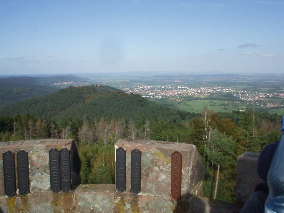
Nach Saverne ist weitgehend ausgeschildert, in Saverne Richtung Phalsboug und dann der Beschilderung "Haut Barr" folgen. Dort gibt es ausreichend Parkplätze und sogar ein e Kneipe in der sehenswerten Burg.
GPS tracks
Trackpoints-
GPX / Garmin Map Source (gpx) download
-
TCX / Garmin Training Center® (tcx) download
-
CRS / Garmin Training Center® (crs) download
-
Google Earth (kml) download
-
G7ToWin (g7t) download
-
TTQV (trk) download
-
Overlay (ovl) download
-
Fugawi (txt) download
-
Kompass (DAV) Track (tk) download
-
Track data sheet (pdf) download
-
Original file of the author (gpx) download
More about the tour author
|
|
Adventuremitch |
Add to my favorites
Remove from my favorites
Edit tags
Open track
My score
Rate