


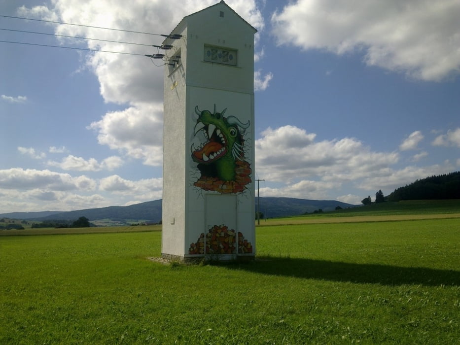
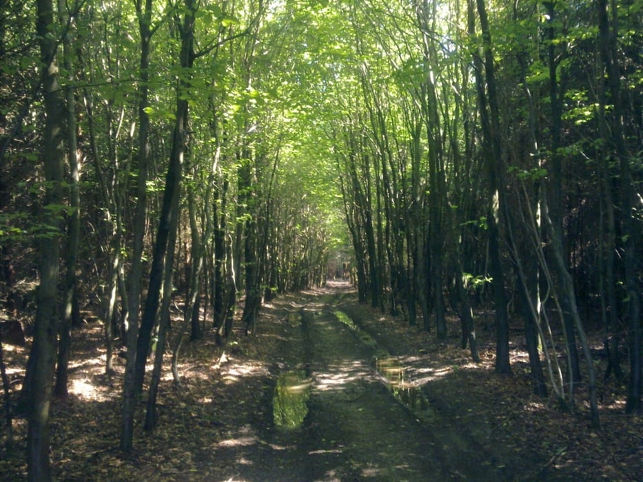
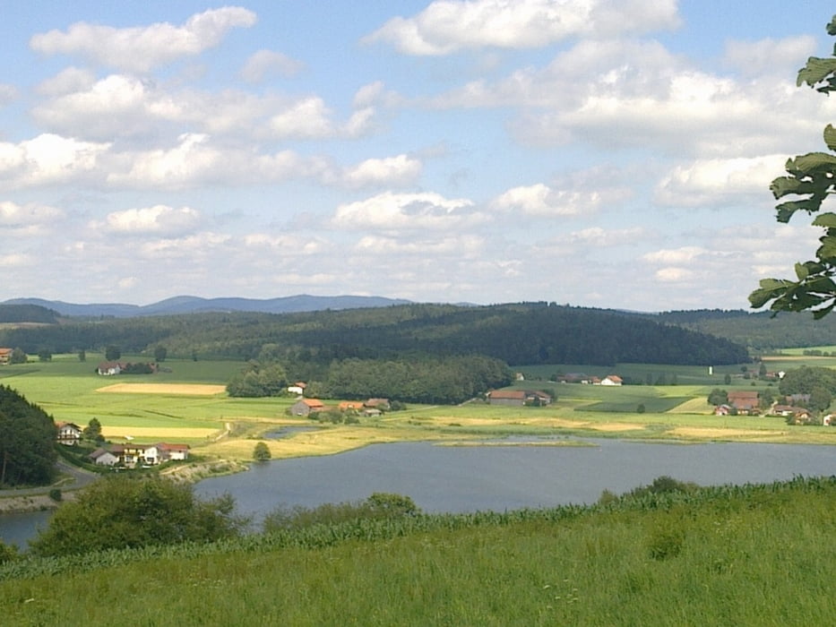
Rundtour um Furth im Wald, auf Forstwegen und wenig befahrenen Nebenstraßen mit ein paar Trails. Immer wieder schöne Ausblicke auf den Drachensee, Hohenbogen, Arber, Osser und Cerchov. Die Tour kann in beiden Richtungen befahren werden.
Anmerkung: zwischen den mit Golfplatz bezeichneten Markierungen muss auf fliegende Golfbälle geachtet werden!
Further information at
http://www.furth.deTour gallery
Tour map and elevation profile
Minimum height 376 m
Maximum height 506 m
More about the tour author

|
grenz-pfad-fahrer |
Comments

Start der Tour ist auf dem Parkplatz der Festwiese in Furth im Wald.
GPS tracks
Trackpoints-
GPX / Garmin Map Source (gpx) download
-
TCX / Garmin Training Center® (tcx) download
-
CRS / Garmin Training Center® (crs) download
-
Google Earth (kml) download
-
G7ToWin (g7t) download
-
TTQV (trk) download
-
Overlay (ovl) download
-
Fugawi (txt) download
-
Kompass (DAV) Track (tk) download
-
Track data sheet (pdf) download
-
Original file of the author (gpx) download
More about the tour author
|
|
grenz-pfad-fahrer |
Add to my favorites
Remove from my favorites
Edit tags
Open track
My score
Rate