Login

Forgot your login?

Cookies have to be accepted!
Your browser's cookie functionality is disabled. Please enable this functionality.

Not a member yet?

Register now
Login

Available for registred users only

Log in to use this feature.

Forgot your login?

Cookies have to be accepted!
Your browser's cookie functionality is disabled. Please enable this functionality.

Not a member yet?

Register now
Filter
Categories
Advanced filters
  • Distance (km)
  • Height
Save filters Reset filter

TrackRank

QRCode

Technical data

Distance10,6 km Height200 m Way down211 m Duration00:00 h:m Date20.12.2010
Scores Author Landscape Fun factor Fitness Technique

Statistics

1210 Views Scores 25 Downloads Average
Rate
  • Track data sheet
  • Directions
  • Downloads

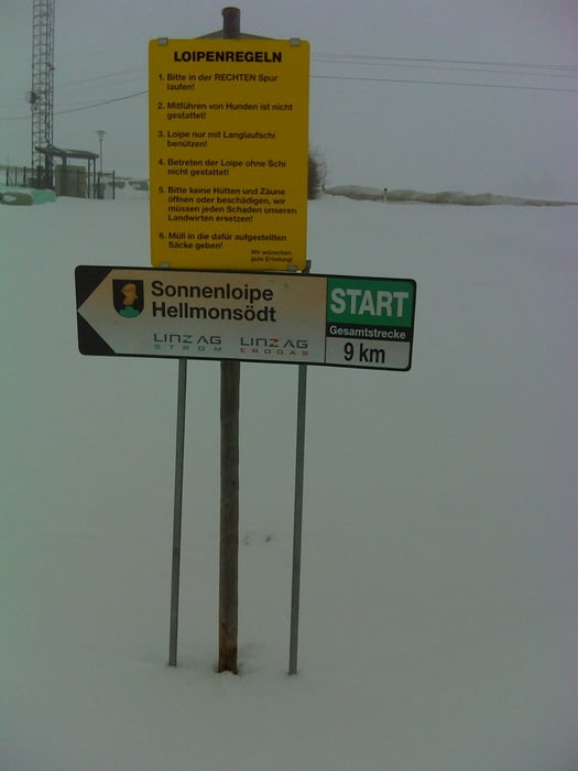
Eine leichte Loipe, man kann die Strecke sehr leicht verlängern zB. (Panoramaloipe).

Tour gallery

Tour map and elevation profile

  • Open Street Map
  • Google
Minimum height 764 m Maximum height 855 m Detailed view

More about the tour author

LettnerChris
Member since 2008

Send private message

Comments

Von Linz kommend B126 bis Glasau, bei der Kreuzung rechts Richtung Reichenau, bei Ortsende von Hellmonsödt  rechts in einen kleinen Weg einbiegen, da ist schon der Parkplatz.

GPS tracks

Trackpoints
  • GPX / Garmin Map Source (gpx) download
  • TCX / Garmin Training Center® (tcx) download
  • CRS / Garmin Training Center® (crs) download
  • Google Earth (kml) download
  • G7ToWin (g7t) download
  • TTQV (trk) download
  • Overlay (ovl) download
  • Fugawi (txt) download
  • Kompass (DAV) Track (tk) download
  • Track data sheet (pdf) download
  • Original file of the author (gpx) download

More about the tour author

LettnerChris
Member since 2008

Send private message
Share track
Add to my favorites
Remove from my favorites
Edit tags
My score
Rate
Track: Hellmonsödt Sonnenloipe
Type: Cross-country skiing
Distance: 10,6 km
Evaluated on:
Duration:
Day(s)
Hour(s)
Minute(s)
Score: Landscape Fun factor Fitness Technique