


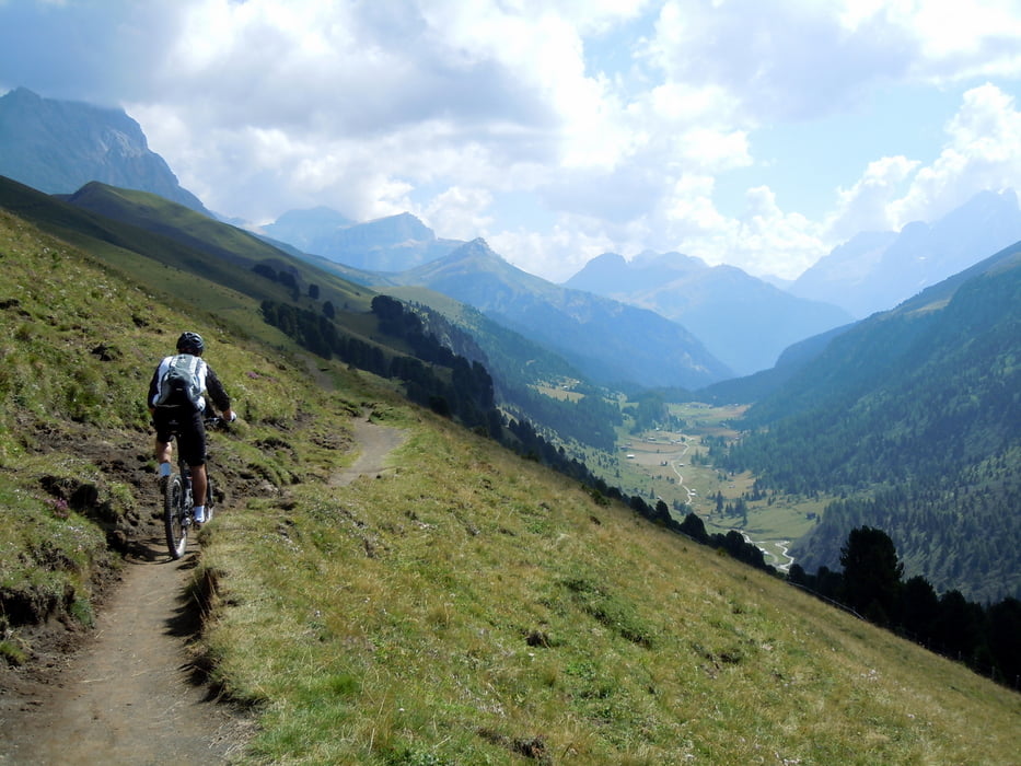
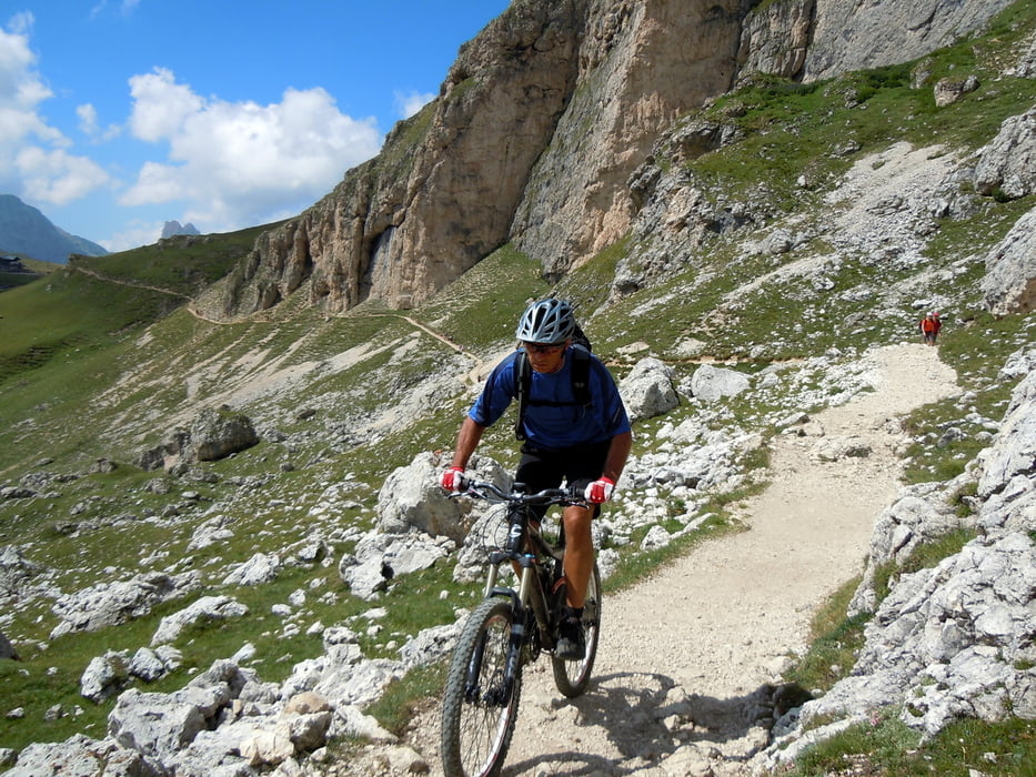
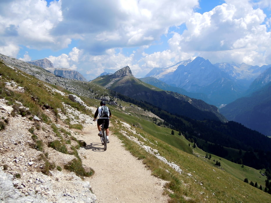
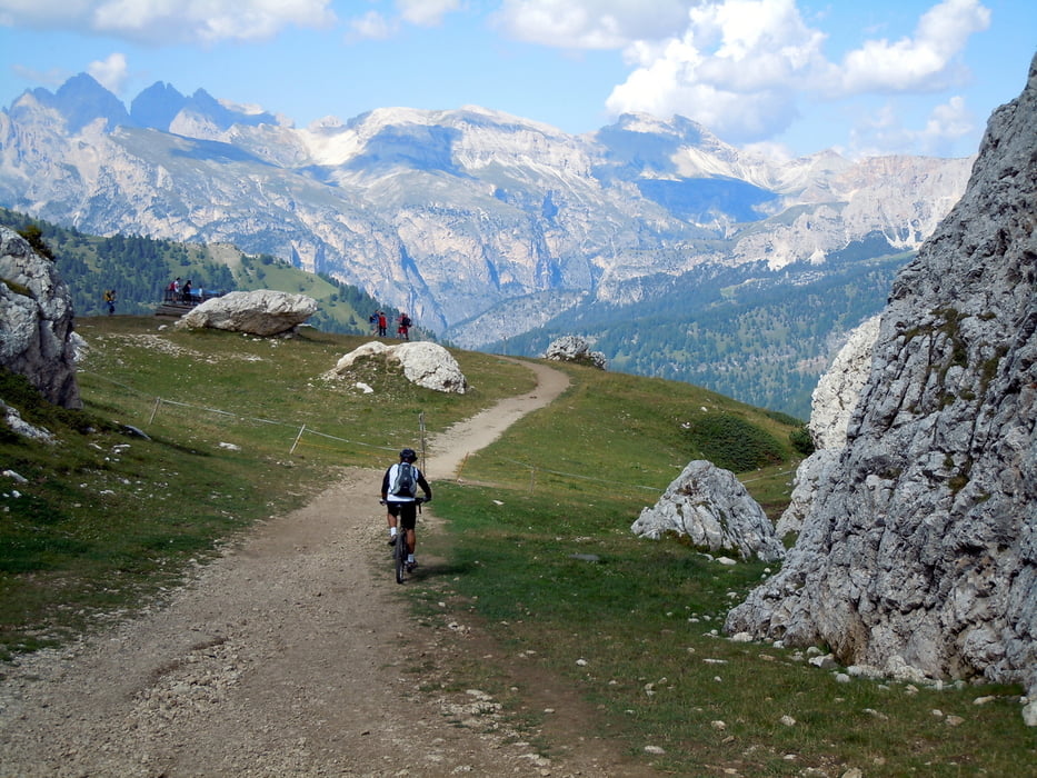
Bellissimo percorso intorno al gruppo del Sassolungo con l’unica difficoltà presentata dal grande numero di escursionisti sui sentieri, specialmente in alta stagione. Partendo da Monte Pana si arriva al Passo Duron da dove comincia il lungo single track, sospeso sulla Val Duron, per il Rifugio Sasso Piatto. Da lì ha inizio il sentiero Federico Augusto, un po’ più impegnativo, che raggiunge prima il Rifugio Pertini, poi il Rifugio analogo ed infine il Passo Sella dove termina. Dal passo si sale alla Città dei Sassi ed al Rifugio Comici da dove si ridiscende facilmente a Monte Pana
Further information at
http://www.sibillini-mtb.itTour gallery
Tour map and elevation profile
Minimum height 1622 m
Maximum height 2358 m
More about the tour author
|
|
barbonis |
Comments

GPS tracks
Trackpoints-
GPX / Garmin Map Source (gpx) download
-
TCX / Garmin Training Center® (tcx) download
-
CRS / Garmin Training Center® (crs) download
-
Google Earth (kml) download
-
G7ToWin (g7t) download
-
TTQV (trk) download
-
Overlay (ovl) download
-
Fugawi (txt) download
-
Kompass (DAV) Track (tk) download
-
Track data sheet (pdf) download
-
Original file of the author (gpx) download
More about the tour author
|
|
barbonis |
Add to my favorites
Remove from my favorites
Edit tags
Open track
My score
Rate