Login

Forgot your login?

Cookies have to be accepted!
Your browser's cookie functionality is disabled. Please enable this functionality.

Not a member yet?

Register now
Login

Available for registred users only

Log in to use this feature.

Forgot your login?

Cookies have to be accepted!
Your browser's cookie functionality is disabled. Please enable this functionality.

Not a member yet?

Register now
Filter
Categories
Advanced filters
  • Distance (km)
  • Height
Save filters Reset filter

TrackRank

QRCode

Technical data

Distance21,7 km Height69 m Way down81 m Duration04:00 h:m Date01.01.2011
Scores Author Landscape Fun factor Fitness Technique

Statistics

765 Views Scores 45 Downloads Average
Rate
  • Track data sheet
  • Directions
  • Downloads


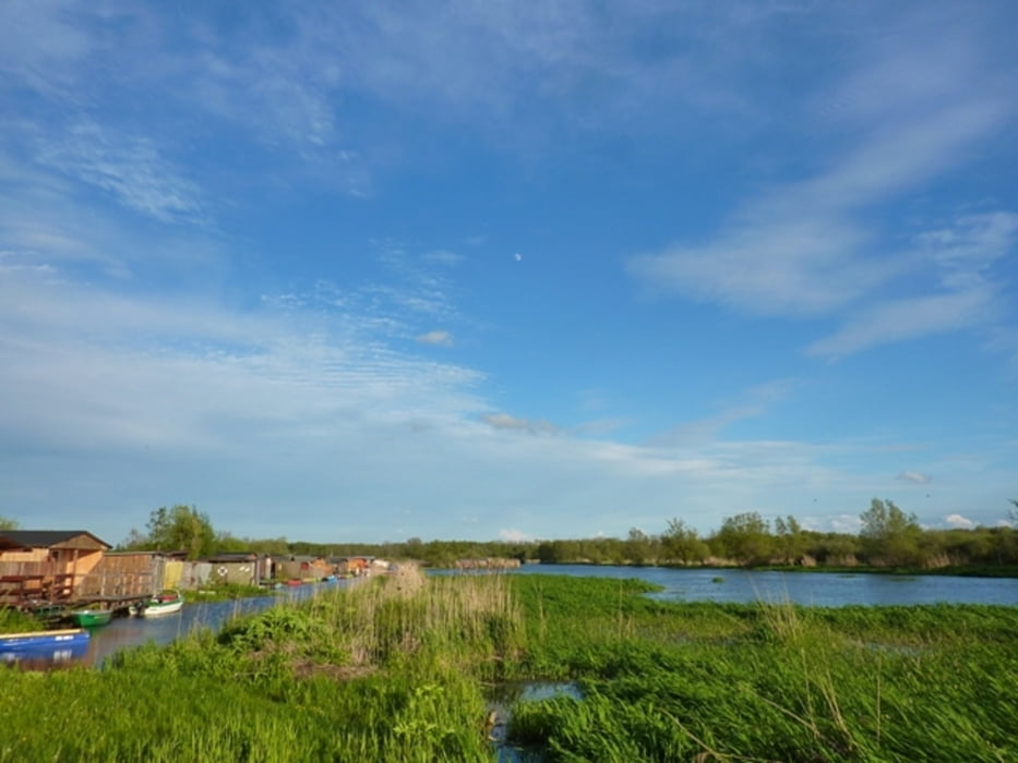
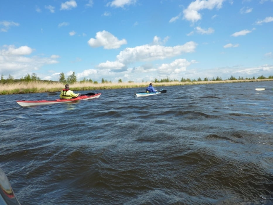
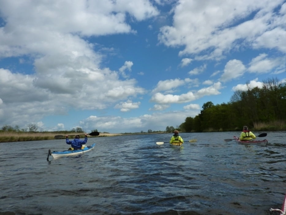
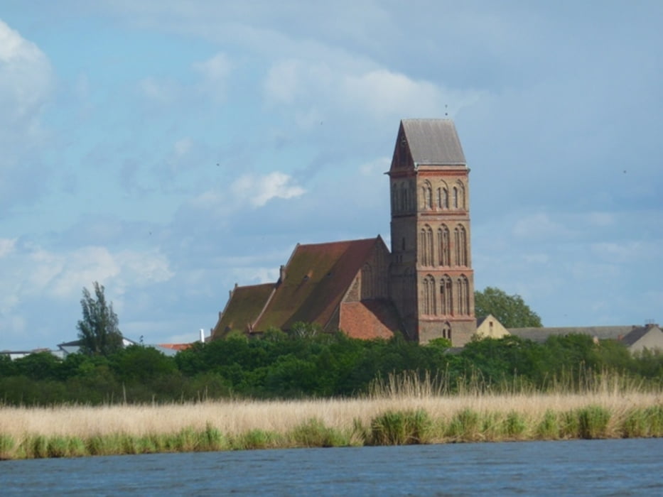
Schönes Urstromtal, in beiden Richtungen befahrbar. Windrichtung beachten. Weiterfahrt bis in den Peenestrom möglich.

Tour gallery

Tour map and elevation profile

  • Open Street Map
  • Google
Minimum height -12 m Maximum height 37 m Detailed view

More about the tour author

sugesei
Member since 2010

Send private message

Comments

Autobahn und Landstaße. Wir waren mit mehreren PKW dort und hatten ein Auto am Ziel abgestellt. Der Hafen in Anklam ist ein Luxusanlager mit guter Parkmöglichkeit.


GPS tracks

Trackpoints
  • GPX / Garmin Map Source (gpx) download
  • TCX / Garmin Training Center® (tcx) download
  • CRS / Garmin Training Center® (crs) download
  • Google Earth (kml) download
  • G7ToWin (g7t) download
  • TTQV (trk) download
  • Overlay (ovl) download
  • Fugawi (txt) download
  • Kompass (DAV) Track (tk) download
  • Track data sheet (pdf) download
  • Original file of the author (gpx) download

More about the tour author

sugesei
Member since 2010

Send private message
Share track
Add to my favorites
Remove from my favorites
Edit tags
My score
Rate
Track: Peenetour
Type: Boat and canoe
Distance: 21,7 km
Evaluated on:
Duration:
Day(s)
Hour(s)
Minute(s)
Score: Landscape Fun factor Fitness Technique