


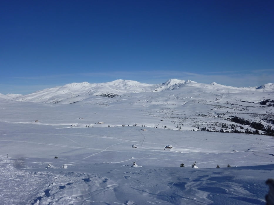
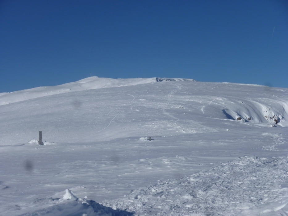
Vom Parkplatz Speckböden (letzter gebührenfreier Parkplatz) unterhalb der Villanderer Alm geht es entlang der Rodelbahn hinauf zur Gasserhütte und von dort kurz die geteerte Straße abwärts bis zum Parkplatz Kaser. (Eventuell auch mit dem Auto bis hierher - Parkgebühr 4 €). Ab hier dem Wegweiser >Villanderer Berg - Gasteiger Sattel< folgend, steigen wir mäßig steil hinauf zum Gasteigersattel (2.053 m). Vom Sattel folgen wird den Hinweis >Villanderer Berg<, der nach rechts zuerst eher flach, dann etwas ansteigend hinauf zu einen Bildstöckl führt. Hier leicht links immer den Hang entlang in mäßiger Steigung hinauf bis zum Gipfel. Grandiose Rundumsicht mit hunderten von Gipfeln. Zurück gehen wir bis zum Bildstöckl, hier kann man bei sicherer Schneelage zu den Villanderer Almen absteigen. Man kommt dann zur Moar in Plun Hütte (bewirtschaftet + offen) und wieder zur Gasserhütte. Hier nun über die Rodelbahn zurück zum Ausgangspunkt.
Tour gallery


Tour map and elevation profile
Minimum height 1592 m
Maximum height 2514 m
More about the tour author
|
|
Califan |
Comments

Autobahnausfahrt Klausen - Klausen - Villanders - Villanderer Alm. Immer Ausgeschildert
GPS tracks
Trackpoints-
GPX / Garmin Map Source (gpx) download
-
TCX / Garmin Training Center® (tcx) download
-
CRS / Garmin Training Center® (crs) download
-
Google Earth (kml) download
-
G7ToWin (g7t) download
-
TTQV (trk) download
-
Overlay (ovl) download
-
Fugawi (txt) download
-
Kompass (DAV) Track (tk) download
-
Track data sheet (pdf) download
-
Original file of the author (gpx) download
More about the tour author
|
|
Califan |
Add to my favorites
Remove from my favorites
Edit tags
Open track
My score
Rate