
")

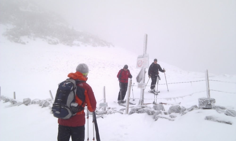
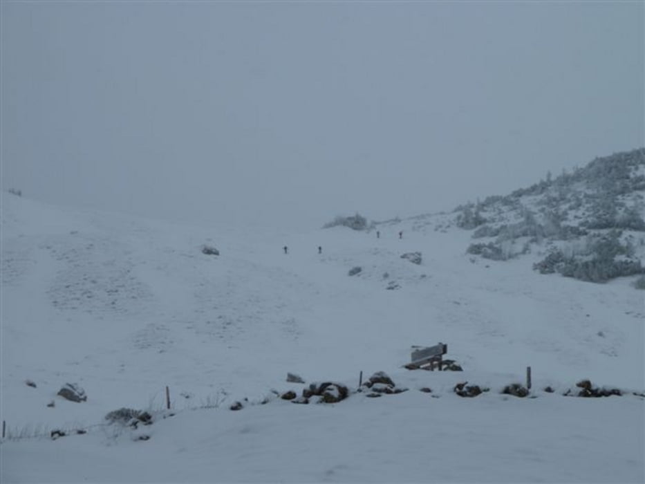
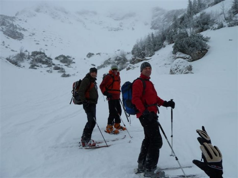
Start am Parkplatz Taubeinsteinlifte
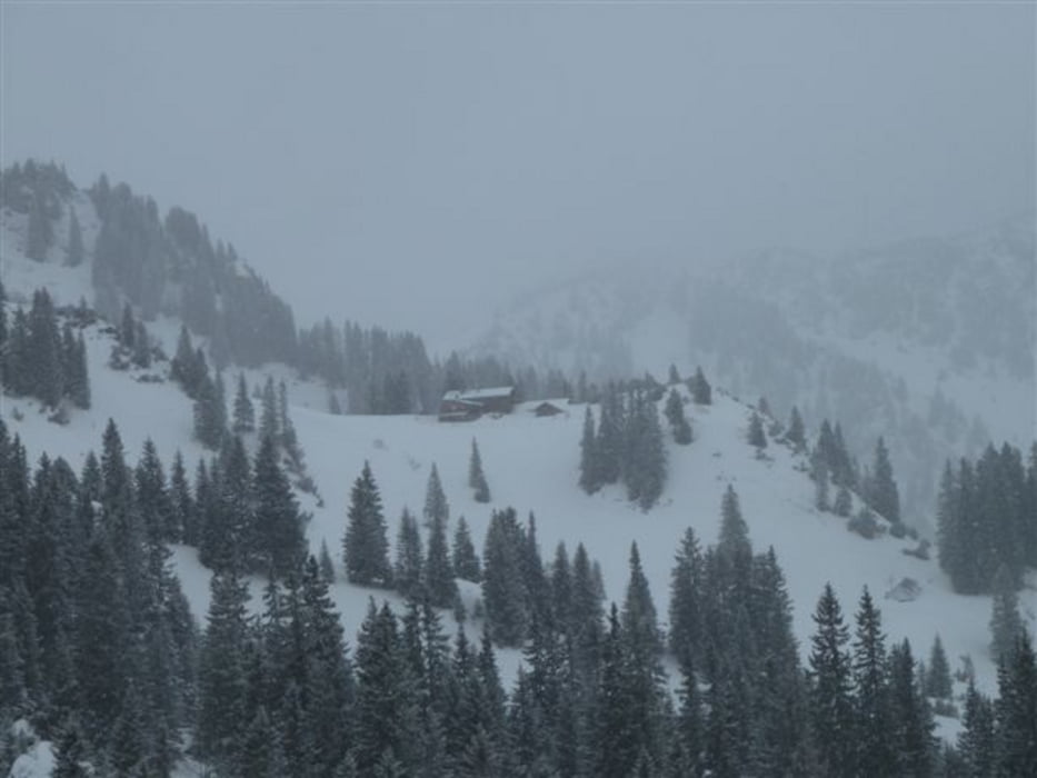
Aufstieg zum Rotwandhaus mit kurzer Einkehr -
- kurze Abfahrt Richtung Großtiefentalalm -
hoch zum Miesingsattel - Abfahrt zur Kleintiefentalalm -
Aufstieg zum Taubensteinhaus - Einkehr -
Aufstieg zum Taubensteinlift -
Abfahrt auf Piste
Wg. schlechter Schnee- und Sichtverhältnisse mussten wir die Gipfel ausgelassen... beim nächsten mal!
Teilnehmer: Christian, Franz, Michi und Stefan
Further information at
http://de.wikipedia.org/wiki/Rotwand_%28Bayern%29Tour gallery
Tour map and elevation profile
Minimum height 1059 m
Maximum height 1746 m
More about the tour author
|
|
asso |
Comments

GPS tracks
Trackpoints-
GPX / Garmin Map Source (gpx) download
-
TCX / Garmin Training Center® (tcx) download
-
CRS / Garmin Training Center® (crs) download
-
Google Earth (kml) download
-
G7ToWin (g7t) download
-
TTQV (trk) download
-
Overlay (ovl) download
-
Fugawi (txt) download
-
Kompass (DAV) Track (tk) download
-
Track data sheet (pdf) download
-
Original file of the author (gpx) download
More about the tour author
|
|
asso |
Add to my favorites
Remove from my favorites
Edit tags
Open track
My score
Rate