Login

Forgot your login?

Cookies have to be accepted!
Your browser's cookie functionality is disabled. Please enable this functionality.

Not a member yet?

Register now
Login

Available for registred users only

Log in to use this feature.

Forgot your login?

Cookies have to be accepted!
Your browser's cookie functionality is disabled. Please enable this functionality.

Not a member yet?

Register now
Filter
Categories
Advanced filters
  • Distance (km)
  • Height
Save filters Reset filter

TrackRank

QRCode

Technical data

Distance4,1 km Height43 m Way down51 m Duration00:45 h:m Date03.01.2011
Scores Author Landscape Fun factor Fitness Technique

Statistics

177 Views Scores 6 Downloads Average
Rate
  • Track data sheet
  • Directions
  • Downloads

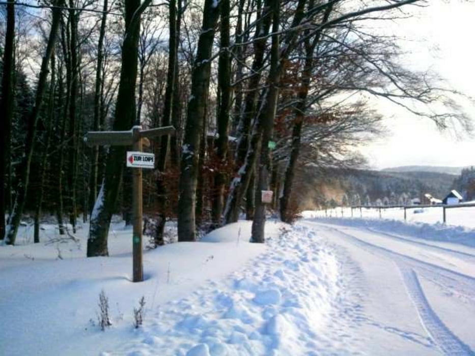
Wunderschöne kurze Tour, meistens gut gespurt.

Keine Fernsichten, die Loipe meist im Wald.

Man hat des Gefühl, man fährt durch einen Zauberwald.

Tour map and elevation profile

  • Open Street Map
  • Google
Minimum height 434 m Maximum height 482 m Detailed view

More about the tour author

Venus2008
Member since 2008

Send private message

Comments

Richtung Hammelbach fahren.

Dann Richtung Café Bauer... Dort gibts dann danach lecker Kuchen :-)

GPS tracks

Trackpoints
  • GPX / Garmin Map Source (gpx) download
  • TCX / Garmin Training Center® (tcx) download
  • CRS / Garmin Training Center® (crs) download
  • Google Earth (kml) download
  • G7ToWin (g7t) download
  • TTQV (trk) download
  • Overlay (ovl) download
  • Fugawi (txt) download
  • Kompass (DAV) Track (tk) download
  • Track data sheet (pdf) download
  • Original file of the author (gpx) download

More about the tour author

Venus2008
Member since 2008

Send private message
Share track
Add to my favorites
Remove from my favorites
Edit tags
My score
Rate
Track: Langlauf in der Gassbach
Type: Cross-country skiing
Distance: 4,1 km
Evaluated on:
Duration:
Day(s)
Hour(s)
Minute(s)
Score: Landscape Fun factor Fitness Technique