Login

Forgot your login?

Cookies have to be accepted!
Your browser's cookie functionality is disabled. Please enable this functionality.

Not a member yet?

Register now
Login

Available for registred users only

Log in to use this feature.

Forgot your login?

Cookies have to be accepted!
Your browser's cookie functionality is disabled. Please enable this functionality.

Not a member yet?

Register now
Filter
Categories
Advanced filters
  • Distance (km)
  • Height
Save filters Reset filter

TrackRank

QRCode

Technical data

Distance10,4 km Height254 m Way down256 m Duration01:50 h:m Date04.01.2011
Scores Author Landscape Fun factor Fitness Technique

Statistics

314 Views Scores 13 Downloads Average
Rate
  • Track data sheet
  • Directions
  • Downloads

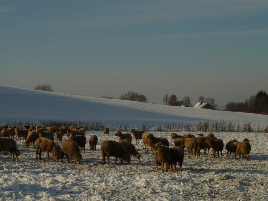
Startpunkt ist der Wanderparkplatz in der Jungingerstr.


Danach in Richtung Friedrichstal, Maria Zell und durch den Wald zurück zur Kreisstraße und dann nach Boll
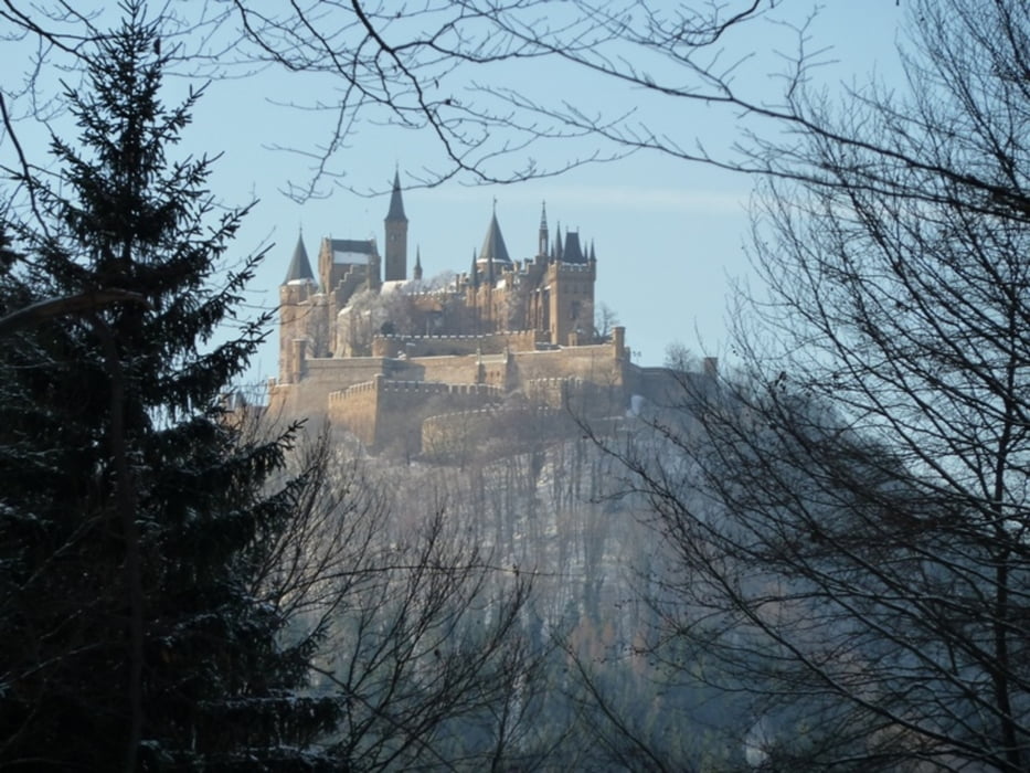
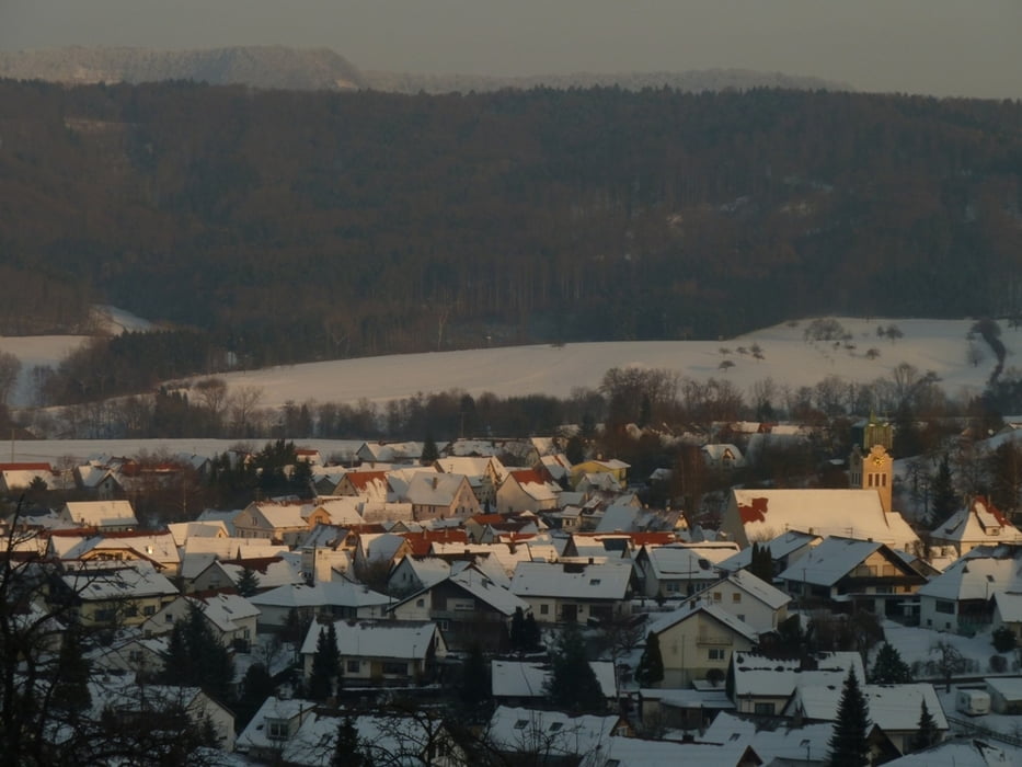
Tour gallery

Tour map and elevation profile

  • Open Street Map
  • Google
Minimum height 515 m Maximum height 723 m Detailed view

More about the tour author

Furios-Wolf
Member since 2008

Send private message

Comments

GPS tracks

Trackpoints
  • GPX / Garmin Map Source (gpx) download
  • TCX / Garmin Training Center® (tcx) download
  • CRS / Garmin Training Center® (crs) download
  • Google Earth (kml) download
  • G7ToWin (g7t) download
  • TTQV (trk) download
  • Overlay (ovl) download
  • Fugawi (txt) download
  • Kompass (DAV) Track (tk) download
  • Track data sheet (pdf) download
  • Original file of the author (gpx) download

More about the tour author

Furios-Wolf
Member since 2008

Send private message
Share track
Add to my favorites
Remove from my favorites
Edit tags
My score
Rate
Track: Rund um Boll
Type: Nordic Walking
Distance: 10,4 km
Evaluated on:
Duration:
Day(s)
Hour(s)
Minute(s)
Score: Landscape Fun factor Fitness Technique