


Aufstieg: 2 Stunden, 55 Minuten
Abfahrt: 54 Minuten
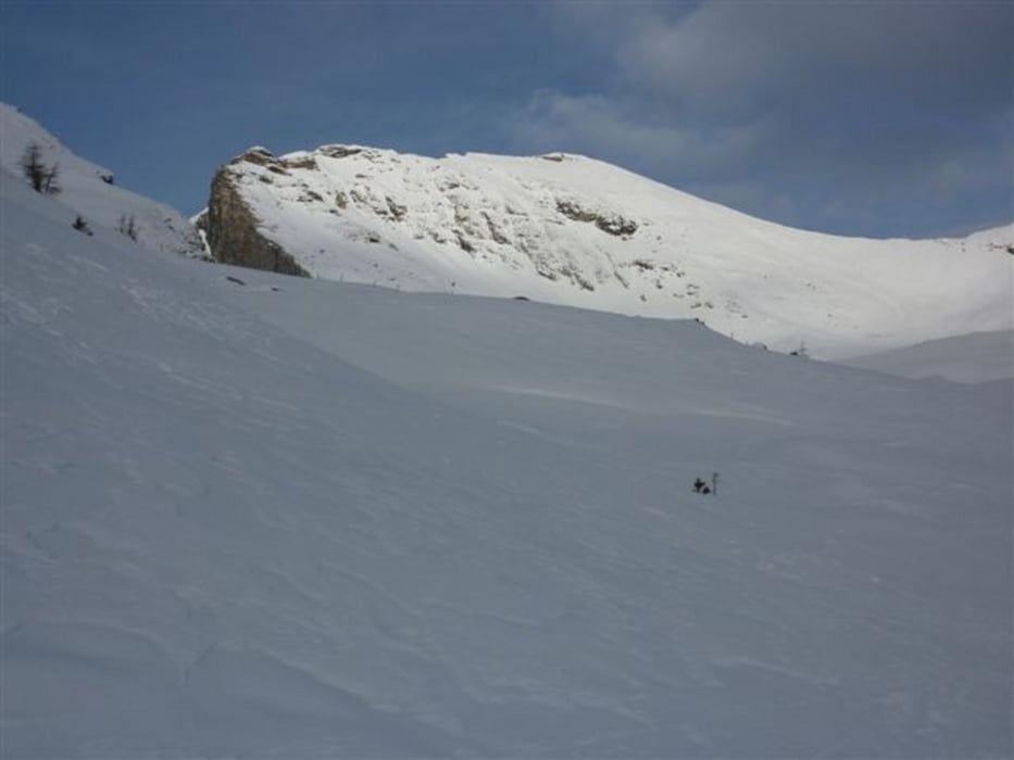
Von der Kramerhütte in nördlicher Richtung aufwärts zu den Hütten der Faschaunalm.
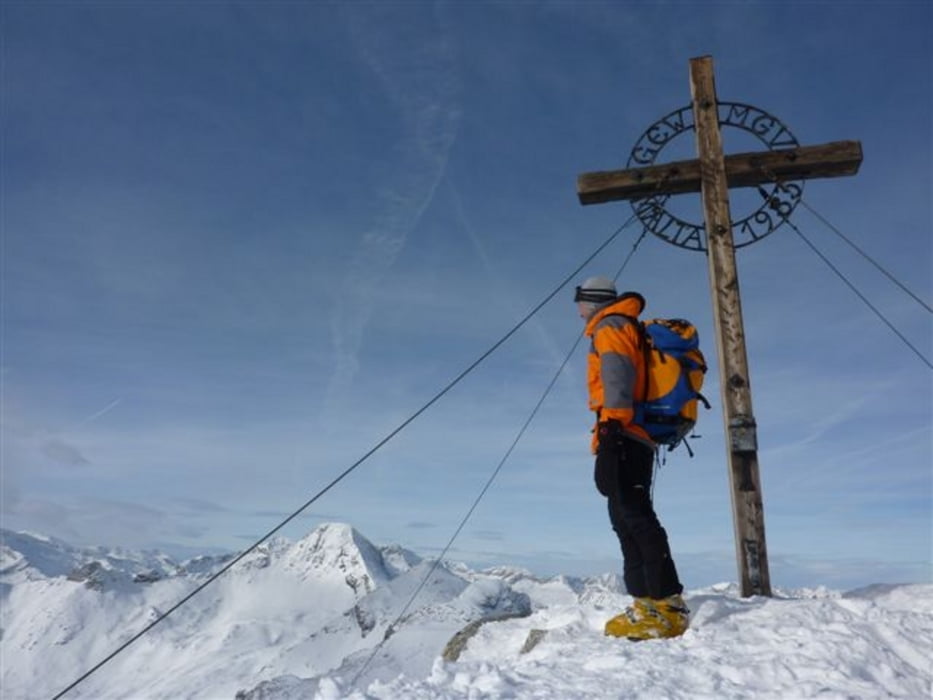
Weiter geht es nördlich taleinwärts zum sog. Maltinger Alpl und dann über die Hänge aufwärts zum SO-Kamm, über welchen man den Gipfel erreicht.
Abfahrt wie Aufstieg.
Tour gallery

Tour map and elevation profile
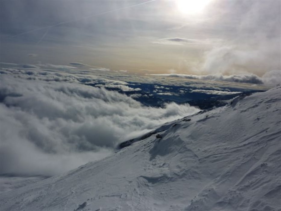
Minimum height 1588 m
Maximum height 2804 m
More about the tour author
|
|
harald07071 |
Comments

A 10 Tauernautobahn Abfahrt Gmünd und nordwestlich im Maltatal bis nach Malta.
Auffahrt rechts nach Maltaberg und weiter bis zur Kramerhütte.
GPS tracks
Trackpoints-
GPX / Garmin Map Source (gpx) download
-
TCX / Garmin Training Center® (tcx) download
-
CRS / Garmin Training Center® (crs) download
-
Google Earth (kml) download
-
G7ToWin (g7t) download
-
TTQV (trk) download
-
Overlay (ovl) download
-
Fugawi (txt) download
-
Kompass (DAV) Track (tk) download
-
Track data sheet (pdf) download
-
Original file of the author (gpx) download
More about the tour author
|
|
harald07071 |
Add to my favorites
Remove from my favorites
Edit tags
Open track
My score
Rate