


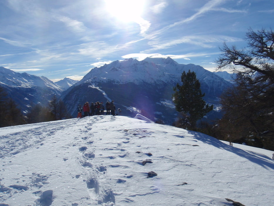
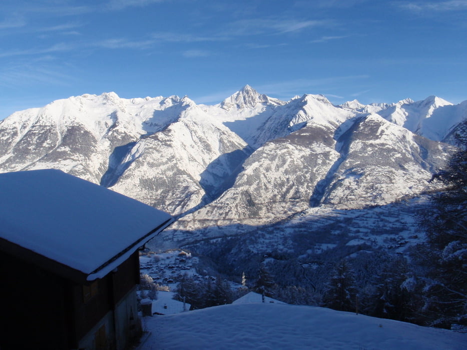
Eine Sammlung von 5 Schneeschuhtouren, die wir zum Jahreswechsel 2010/2011 als geführte Touren von Unterbäch aus durchgeführt haben. Speziell die (östlichste) Tour 20101230.GPX bietet einen wundervollen Ausblick vom STAND auf einige der Walliser 4000er. Die Toueren sind absolut lawinensicher und beinhalteten stets eine Einkehr auf einer bewirtschafteten Hütte. Herzlichen Dank an unsere Führerin Elsbeth vom Hotel Alpenhof in Unterbäch!
Tour gallery
Tour map and elevation profile
Minimum height 1233 m
Maximum height 2131 m
More about the tour author

|
smd |
Comments

Aus Süddeutschland über St. Gallen - Zürich -Bern nach Kandersteg zur Autoverladung Lötscherg. Nach der Ausfahrt den Pass hinab ins Rhonetal und auf der Gegenseite über Eischoll nach Unterbäch.
GPS tracks
Trackpoints-
GPX / Garmin Map Source (gpx) download
-
TCX / Garmin Training Center® (tcx) download
-
CRS / Garmin Training Center® (crs) download
-
Google Earth (kml) download
-
G7ToWin (g7t) download
-
TTQV (trk) download
-
Overlay (ovl) download
-
Fugawi (txt) download
-
Kompass (DAV) Track (tk) download
-
Track data sheet (pdf) download
-
Original file of the author (gpx) download
More about the tour author
|
|
smd |
Add to my favorites
Remove from my favorites
Edit tags
Open track
My score
Rate