Login

Forgot your login?

Cookies have to be accepted!
Your browser's cookie functionality is disabled. Please enable this functionality.

Not a member yet?

Register now
Login

Available for registred users only

Log in to use this feature.

Forgot your login?

Cookies have to be accepted!
Your browser's cookie functionality is disabled. Please enable this functionality.

Not a member yet?

Register now
Filter
Categories
Advanced filters
  • Distance (km)
  • Height
Save filters Reset filter

TrackRank

QRCode

Technical data

Distance81,3 km Height1975 m Way down1974 m Duration08:00 h:m Date12.01.2011
Scores Author Landscape Fun factor Fitness Technique

Statistics

809 Views Scores 171 Downloads Average
Rate
  • Track data sheet
  • Directions
  • Downloads

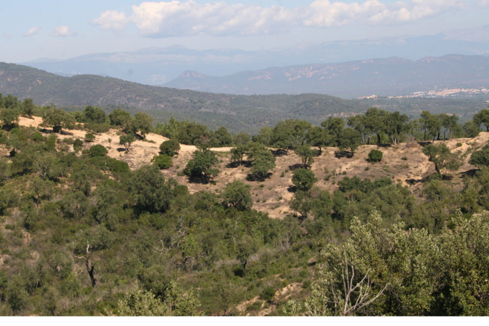
 The Roc Marathon in Fréjus.

Hard, technical and steep climbs and some very technical descents.

Further information at

http://www.rocazur.com/

Tour map and elevation profile

  • Open Street Map
  • Google
Minimum height Maximum height 395 m Detailed view

More about the tour author

ElBaelos
Member since 2011

Send private message

Comments

GPS tracks

Trackpoints
  • GPX / Garmin Map Source (gpx) download
  • TCX / Garmin Training Center® (tcx) download
  • CRS / Garmin Training Center® (crs) download
  • Google Earth (kml) download
  • G7ToWin (g7t) download
  • TTQV (trk) download
  • Overlay (ovl) download
  • Fugawi (txt) download
  • Kompass (DAV) Track (tk) download
  • Track data sheet (pdf) download
  • Original file of the author (tcx) download

More about the tour author

ElBaelos
Member since 2011

Send private message
Share track
Add to my favorites
Remove from my favorites
Edit tags
My score
Rate
Track: Roc Marathon Fréjus
Type: Mountain bike
Distance: 81,3 km
Evaluated on:
Duration:
Day(s)
Hour(s)
Minute(s)
Score: Landscape Fun factor Fitness Technique