


Zum Strudelkopf und Heimkehrerkreuz
Von der Plätzwiese aus geht es recht flach bis zur Dürrensteinhütte.Ab der Dürrensteinhütte erfolgt der Aufstieg zu Strudelkopf bzw. Heimkehrerkreuz.Wegschilder sind gut erkennbar angebrecht.
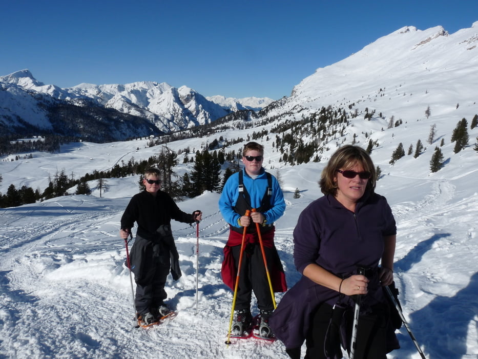
Durch herrliche Winterlandschaft und immer wieder atemberaubende Ausblicke auf die umliegenden Berge erreicht man das Heimkehrerkreuz.Von dort aus hat man einen schönen Blick auf das Wahrzeichen Südtirols die Drei Zinnen,die sich bis zu 3000 m hoch in die Landschaft prägen.Den Rückweg kann man dann selbst gestallten und durch die verschneiten Hänge einsame Schneeschuhspuren ziehen,denn man kann sich nicht verlaufen.Start und Ziel der Parkplatz auf der Plätzwiese
Tour gallery

Tour map and elevation profile
Minimum height 1951 m
Maximum height 2315 m
More about the tour author
|
|
ambaibiker |
Comments

Plätzwiese (Brückle im Praxer Tal) >>> bei der Fahrt mit dem PKW bis zur Plätzwiese ist Schneekettenpflicht !!!
GPS tracks
Trackpoints-
GPX / Garmin Map Source (gpx) download
-
TCX / Garmin Training Center® (tcx) download
-
CRS / Garmin Training Center® (crs) download
-
Google Earth (kml) download
-
G7ToWin (g7t) download
-
TTQV (trk) download
-
Overlay (ovl) download
-
Fugawi (txt) download
-
Kompass (DAV) Track (tk) download
-
Track data sheet (pdf) download
-
Original file of the author (gpx) download
More about the tour author
|
|
ambaibiker |
Add to my favorites
Remove from my favorites
Edit tags
Open track
My score
Rate