


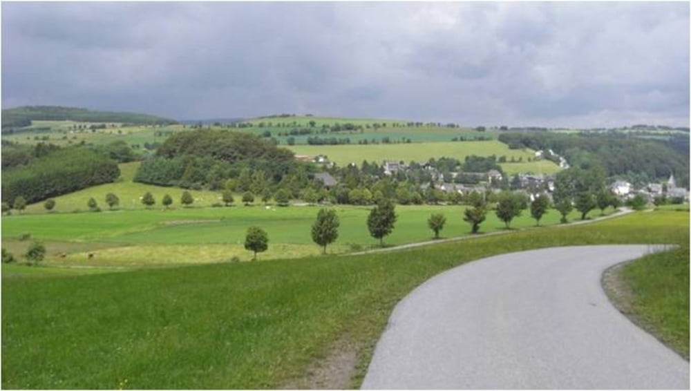
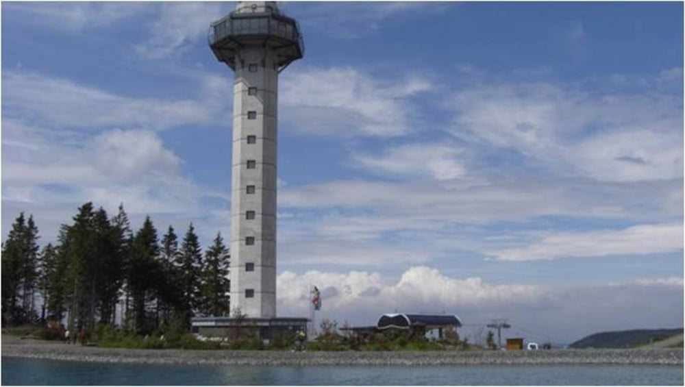
Start der Tour ist am Posthotel in Usseln. Nach kurzem Aufstieg erreichen wir den Pöninggipfel und fahren von hier weiter zur Diemelquelle. Über einen kurzen steilen Trail geht es bergauf um dann in Richtung Küstelberg abzufahren. Eine Schotterstraße führt uns bergauf, vorbei an der Hillekopf Schutzhütte und über einige verschlungene Trails bis auf den Ettelsberg. Der Ausblick auf das Umland ist beeindruckend, genau wie die Freeridestrecke. Mit ein wenig Erfahrung ist die Strecke durchaus zu bewältigen und verleitet zum Wiederholen. Zurück nach Usseln gelangen wir ohne größere Steigungen komplett auf Asphalt.
Further information at
http://www.Schliesser-Bike.deTour gallery

Tour map and elevation profile
Minimum height 581 m
Maximum height 841 m
More about the tour author
|
|
mtb-tom |
Comments

GPS tracks
Trackpoints-
GPX / Garmin Map Source (gpx) download
-
TCX / Garmin Training Center® (tcx) download
-
CRS / Garmin Training Center® (crs) download
-
Google Earth (kml) download
-
G7ToWin (g7t) download
-
TTQV (trk) download
-
Overlay (ovl) download
-
Fugawi (txt) download
-
Kompass (DAV) Track (tk) download
-
Track data sheet (pdf) download
-
Original file of the author (gpx) download
More about the tour author
|
|
mtb-tom |
Add to my favorites
Remove from my favorites
Edit tags
Open track
My score
Rate