

Travesia con la que veras lo mas emblematico de los Parque Naturales de Els Ports, Peñagolosa, Espadan y Calderona.
Si el problema es empezar en Fredes, haz una etapa mas y sal desde Tortosa a la que puedes llegar en tren y seguir el track de mi "Transmaestrazgo" http://es.wikiloc.com/wikiloc/view.do?id=38668 hasta fredes.
Llegados a Benasal y no quereis meteros por el GR 7 y tener que empujar la bici podeis optar por la alternativa por pista que tengo colgada en esta mima pagina y que te puedes descargar de aqui http://es.wikiloc.com/wikiloc/view.do?id=854965
Una travesia que no te dejara indiferente.
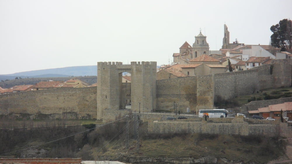
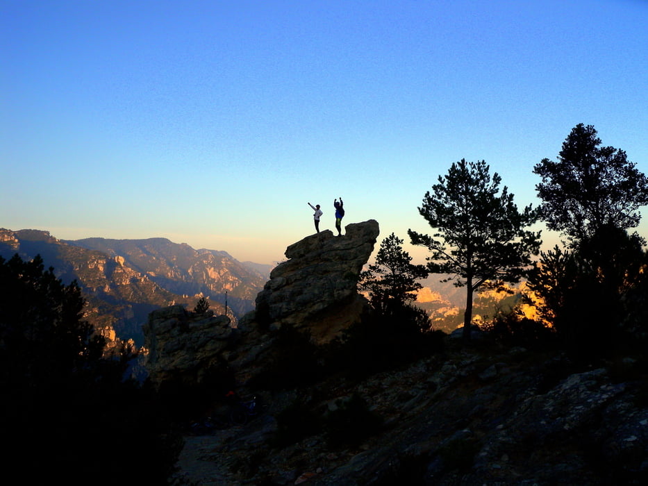
Tour gallery


Tour map and elevation profile
Minimum height 4 m
Maximum height 1805 m
More about the tour author
|
|
Anibal |
Comments

GPS tracks
Trackpoints-
GPX / Garmin Map Source (gpx) download
-
TCX / Garmin Training Center® (tcx) download
-
CRS / Garmin Training Center® (crs) download
-
Google Earth (kml) download
-
G7ToWin (g7t) download
-
TTQV (trk) download
-
Overlay (ovl) download
-
Fugawi (txt) download
-
Kompass (DAV) Track (tk) download
-
Track data sheet (pdf) download
-
Original file of the author (gpx) download
More about the tour author
|
|
Anibal |
Add to my favorites
Remove from my favorites
Edit tags
Open track
My score
Rate