


Das war die letzte Tour 2010.
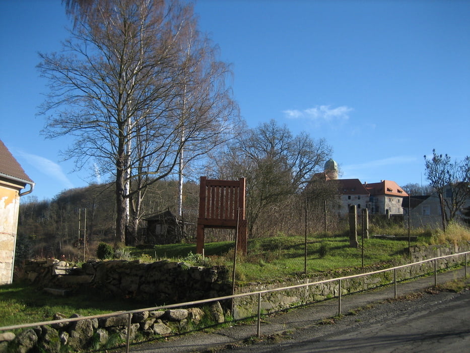
Die Waldwege waren schwer zu fahren, denn die waren richtig nass, nur noch eine Wasserlache nach der anderen. Nach Cheb fuhr ich dann nur noch auf Fahrradwegen und Straßen weiter, so kamen doch noch ein paar Kilometer zusammen. So ging es von übers Wellerthal, dem „Ackerl“ - dem Liebensteiner Tor,Liba, Cheb, Hroznatov, Arzberg wieder zurück nach Thiersheim.
viel Spaß !
Tour gallery

Tour map and elevation profile
Minimum height 449 m
Maximum height 608 m
More about the tour author
|
|
Bernd-Ghostbiker |
Comments

Startpunkt ist Thiersheim. Anreise per PKW: aus Richtung Regensburg - Weiden A 93 in Richtung Berlin Ausfahrt Thiersheim aus Richtung Nürnberg - Bayreuth A 9 in Richtung Berlin Ausfahrt Bad Berneck und dann durch das Fichtelgebirge über Tröstau, Wunsiedel, Marktredwitz nach Thiersheim oder Ausfahrt Gefrees über Weißenstadt, Röslau, Bernstein nach Thiersheim
GPS tracks
Trackpoints-
GPX / Garmin Map Source (gpx) download
-
TCX / Garmin Training Center® (tcx) download
-
CRS / Garmin Training Center® (crs) download
-
Google Earth (kml) download
-
G7ToWin (g7t) download
-
TTQV (trk) download
-
Overlay (ovl) download
-
Fugawi (txt) download
-
Kompass (DAV) Track (tk) download
-
Track data sheet (pdf) download
-
Original file of the author (gpx) download
More about the tour author
|
|
Bernd-Ghostbiker |
Add to my favorites
Remove from my favorites
Edit tags
Open track
My score
Rate