


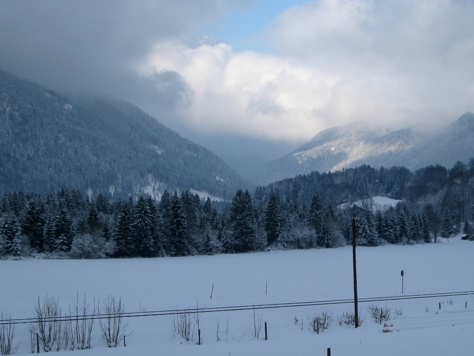
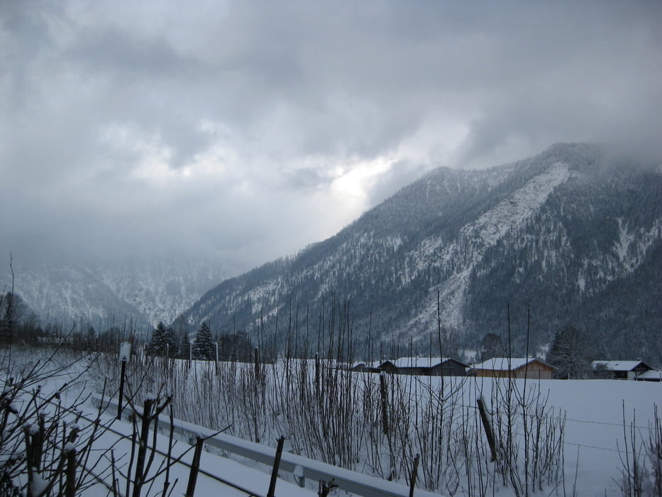
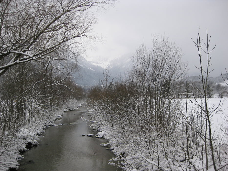
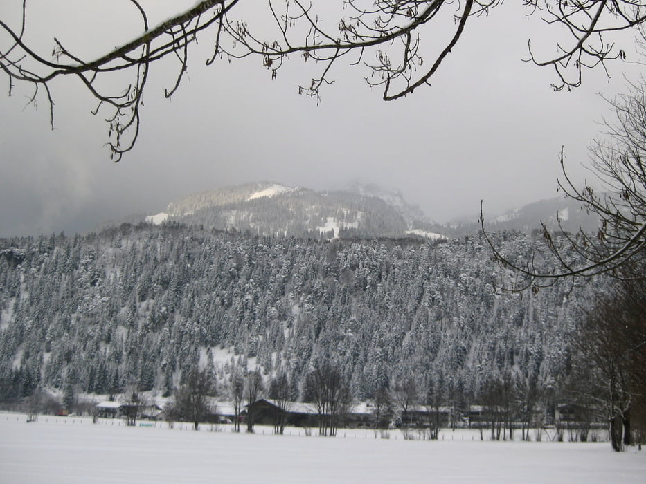
Vom BOB-Bahnhof Geitau aus wandern wir an den Gleisen der BOB-Bahn entlang und am Ort "Dorf" vorbei . Wir gehen weiter unter der Wendelsteinbahn hindurch nach Osterhofen und queren hier die Gleise und die Alpenstraße B307. Wir kommen an die Leitzach, die wir viermal überqueren müssen, bis wir Bayrischzell erreichen. Über die Seebergstraße gelangen wir zu unserem Ziel, dem BOB-Bahnhof in Bayrischzell.
Tour gallery
Tour map and elevation profile
Minimum height 772 m
Maximum height 829 m
More about the tour author

|
frank_guenther |
Comments

Startpunkt der Tour ist der BOB-Bahnhof in Geitau
GPS tracks
Trackpoints-
GPX / Garmin Map Source (gpx) download
-
TCX / Garmin Training Center® (tcx) download
-
CRS / Garmin Training Center® (crs) download
-
Google Earth (kml) download
-
G7ToWin (g7t) download
-
TTQV (trk) download
-
Overlay (ovl) download
-
Fugawi (txt) download
-
Kompass (DAV) Track (tk) download
-
Track data sheet (pdf) download
-
Original file of the author (gpx) download
More about the tour author
|
|
frank_guenther |
Add to my favorites
Remove from my favorites
Edit tags
Open track
My score
Rate