Login

Forgot your login?

Cookies have to be accepted!
Your browser's cookie functionality is disabled. Please enable this functionality.

Not a member yet?

Register now
Login

Available for registred users only

Log in to use this feature.

Forgot your login?

Cookies have to be accepted!
Your browser's cookie functionality is disabled. Please enable this functionality.

Not a member yet?

Register now
Filter
Categories
Advanced filters
  • Distance (km)
  • Height
Save filters Reset filter

TrackRank

QRCode

Technical data

Distance69,9 km Height1774 m Way down1819 m Duration00:00 h:m Date23.01.2011
Scores Author User Landscape Fun factor Fitness Technique

Statistics

3571 Views 2 Scores 282 Downloads 4.50 Average
Rate
  • Track data sheet
  • Directions
  • Downloads

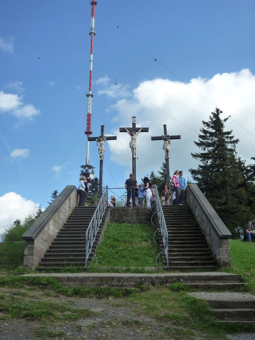
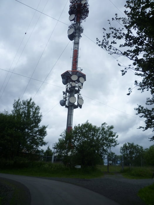
Start am Hotel in Gersfeld ( unser Basislager ). Zwischenziele der Tour: Himmelberg, Kloster Kreuzberg + Antennenmast am Kloster, Bischofsheim, Holzberg und noch viel mehr schöne Landschaft! 

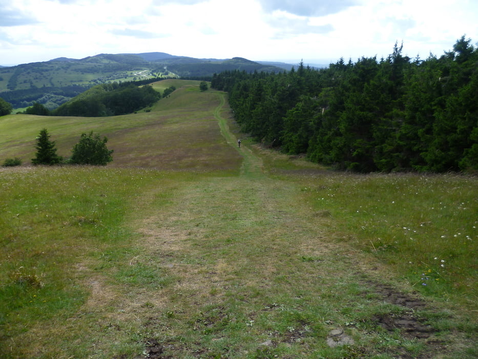
Ein traumhafte Runde mit langen Anstiegen!

Further information at

http://de.wikipedia.org/wiki/Kloster_Kreuzberg

Tour gallery

Tour map and elevation profile

  • Open Street Map
  • Google
Minimum height 391 m Maximum height 930 m Detailed view

More about the tour author

FLU
Member since 2009

Send private message

Comments

munz83 on 23.08.2012

!!!

Landschaftlich eine der schönsten Touren der Rhön. Technisch und konditionell ist auch für jeden was dabei. Klare Empfehlung!!!
Gr_Kettenblatt on 06.08.2013

Tolles Panorama

Schöne Runde, tolle Weitblicke, viel Asphalt, technisch unschwierig aber verlangt Ausdauer-besonders gegen Ende beim Himmel(dunk)berg!

GPS tracks

Trackpoints
  • GPX / Garmin Map Source (gpx) download
  • TCX / Garmin Training Center® (tcx) download
  • CRS / Garmin Training Center® (crs) download
  • Google Earth (kml) download
  • G7ToWin (g7t) download
  • TTQV (trk) download
  • Overlay (ovl) download
  • Fugawi (txt) download
  • Kompass (DAV) Track (tk) download
  • Track data sheet (pdf) download
  • Original file of the author (gpx) download

More about the tour author

FLU
Member since 2009

Send private message
Share track
Add to my favorites
Remove from my favorites
Edit tags
My score
Rate
Track: Drei-Gipfel-Tour ( Rhön )
Type: Mountain bike
Distance: 69,9 km
Evaluated on:
Duration:
Day(s)
Hour(s)
Minute(s)
Score: Landscape Fun factor Fitness Technique