


Vom Schliersee - Spitzingsattel - Pfitscherjoch - Pfunderer Joch - Fanes Alpe - Limojoch - Pralongia - Porto Vescovo - Bindelweg - Karerpass - Reiterjoch - Manghenpass - Kaiserjägerweg - Passo Sommo - Passo Coe - Monte Maggio - Passo Xomo - Pasubio - Rovereto.
Wegen technischen Defekt fehlen die Daten im Pustertal von Vintl nach Bruneck ca. 20 km (Zugfahrt)
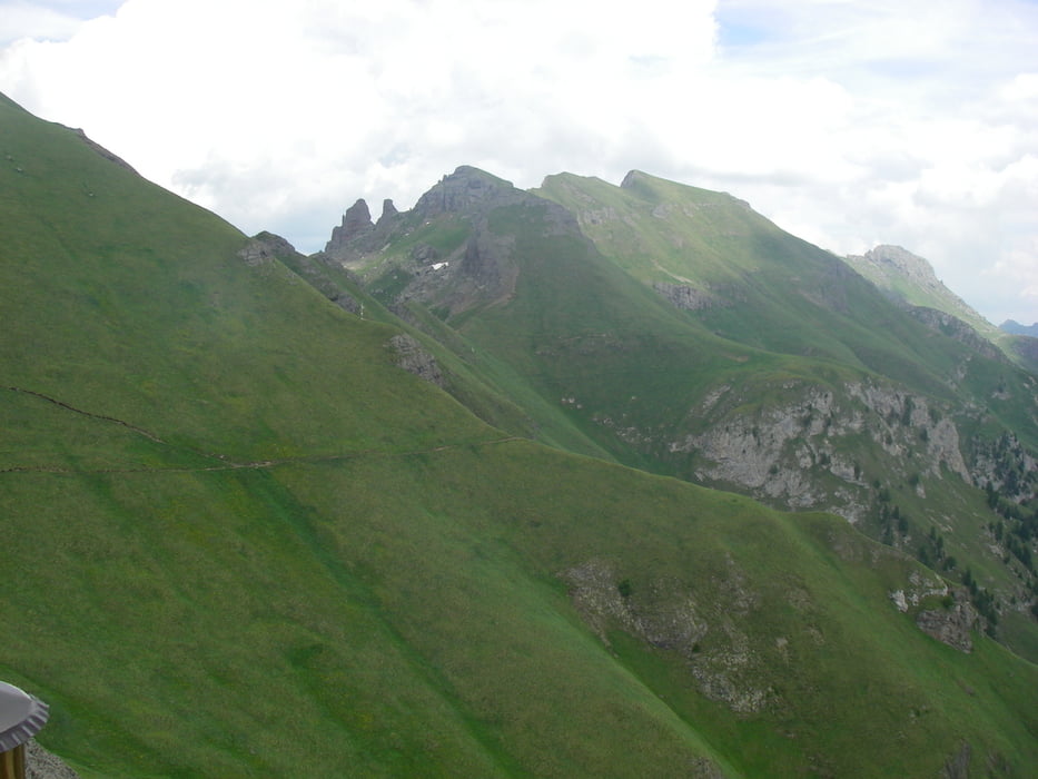
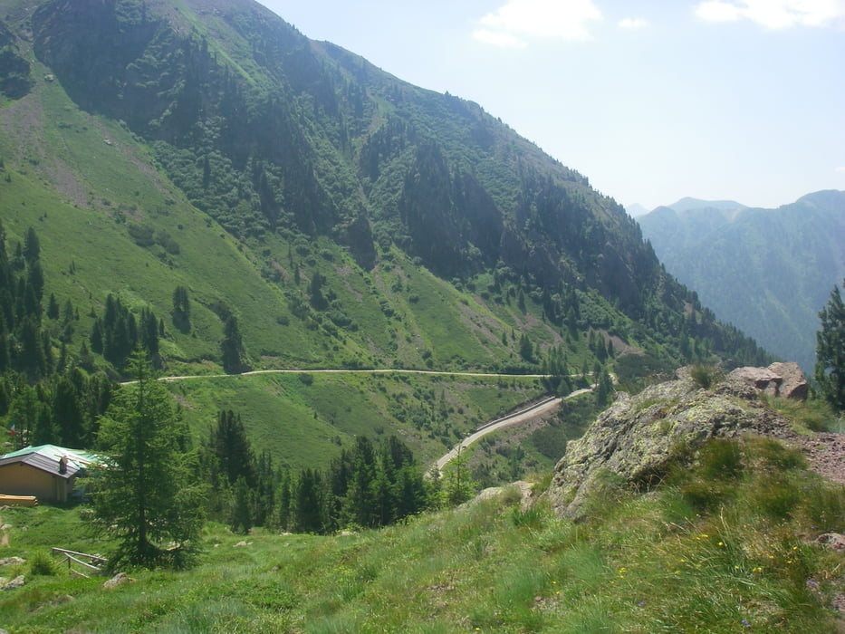
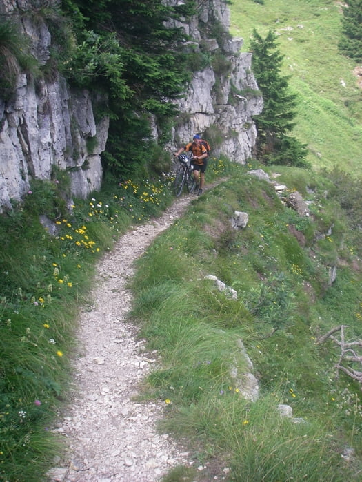
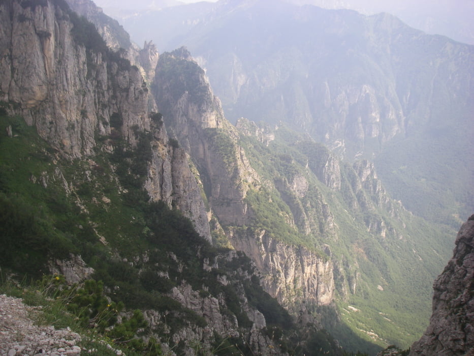
Tour gallery
Tour map and elevation profile
Minimum height 242 m
Maximum height 2574 m
More about the tour author
|
|
radrige |
Comments

Zum Bahnhof Schliersee mit der Oberlandbahn von München.
Ab Rovereto gute Zugverbindungen nach Deutschland
GPS tracks
Trackpoints-
GPX / Garmin Map Source (gpx) download
-
TCX / Garmin Training Center® (tcx) download
-
CRS / Garmin Training Center® (crs) download
-
Google Earth (kml) download
-
G7ToWin (g7t) download
-
TTQV (trk) download
-
Overlay (ovl) download
-
Fugawi (txt) download
-
Kompass (DAV) Track (tk) download
-
Track data sheet (pdf) download
-
Original file of the author (gpx) download
More about the tour author
|
|
radrige |
Add to my favorites
Remove from my favorites
Edit tags
Open track
My score
Rate