


Comoseerunde 2011:
1. Tag Rif. Michelina - Pigrarunde - Rif. Michelina
2. Tag Rif. Michelina - Pso Bonetto - Muggio (CH) - Cernobbio (I) - Monte Bisbino - Rif. Michelina
3. Tag Rif. Michelina - Monte di Tremezzo - Bene Lario - Claino - Laino - Rif. Michelina
4. Tag Rif. Michelina - M. Bisbino - Cernobbio - COMO - Brunáte - Monte Palanzone - Rif. Riella
5. Tag Rif. Riella - M. S. Primo - Fährübersetzung von Bellagio nach Menaggio - Am Ufer entlang bis Argegno und wieder hinauf zum Rifugio Michelina
Kartenempfehlung: Kompass Nr. 91
Buchempfehlung: Rother-Verlag Bike-Guide Comer See
Achtung diese Tour wird erst noch gefahren und ist nr grob ausgearbeitet - es ist immer wieder mit kleinen Detailänderungen zu rechnen!!!
Redaktionelle Überarbeitung / Statistik: 2014-08-26 Views 681 : Downloads49
Further information at
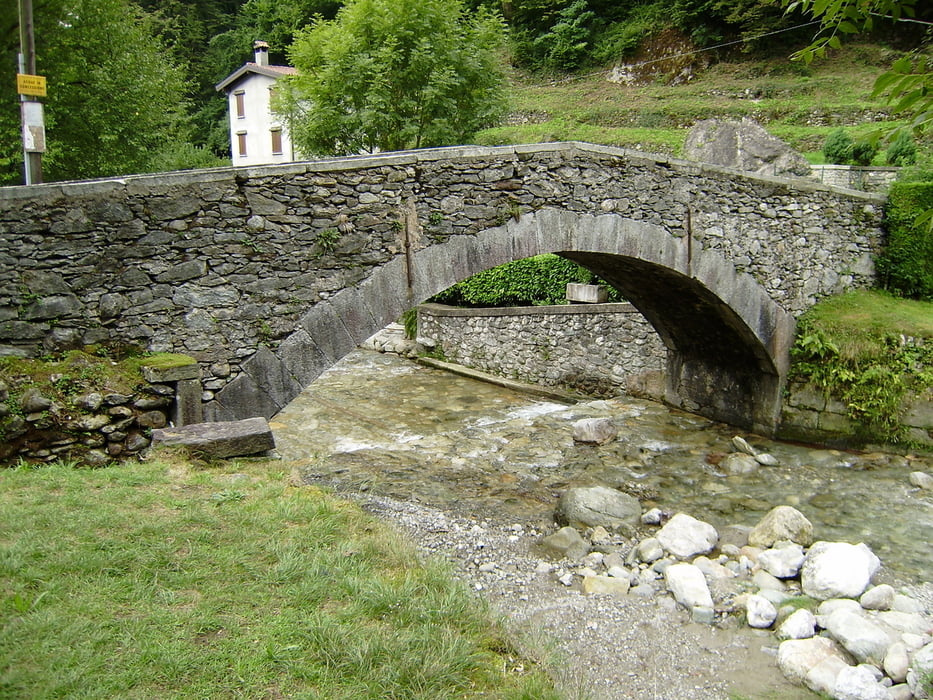
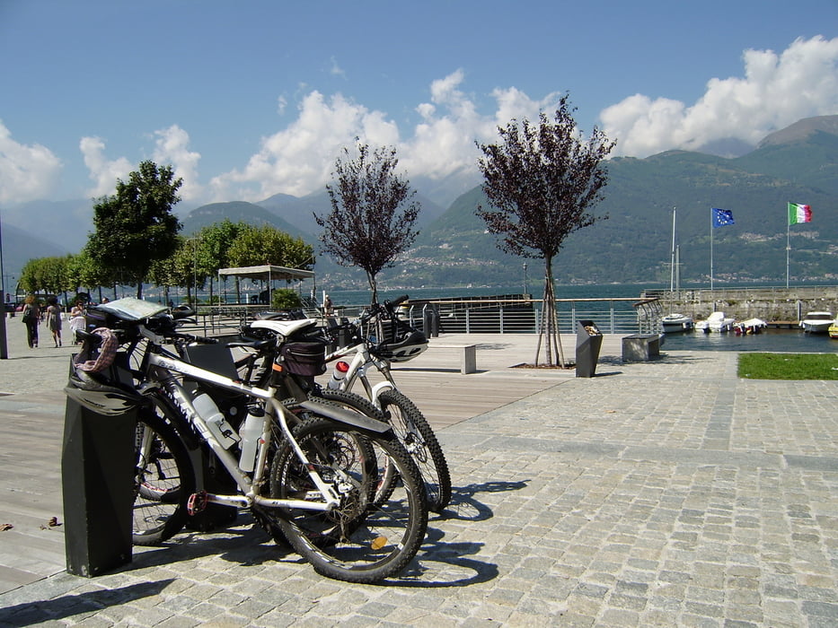
http://www.schenie.deTour gallery
Tour map and elevation profile
Minimum height 198 m
Maximum height 1577 m
More about the tour author
|
|
schenie |
Comments

Wir reisen über die Autobahn der Schweiz nach Lugano und dort Grenzübertritt.
Über ein kleines Pässchen gelangen wir nach San Fidele in Intelvi
721-53-22072018
GPS tracks
Trackpoints-
GPX / Garmin Map Source (gpx) download
-
TCX / Garmin Training Center® (tcx) download
-
CRS / Garmin Training Center® (crs) download
-
Google Earth (kml) download
-
G7ToWin (g7t) download
-
TTQV (trk) download
-
Overlay (ovl) download
-
Fugawi (txt) download
-
Kompass (DAV) Track (tk) download
-
Track data sheet (pdf) download
-
Original file of the author (gpx) download
More about the tour author
|
|
schenie |
Add to my favorites
Remove from my favorites
Edit tags
Open track
My score
Rate