


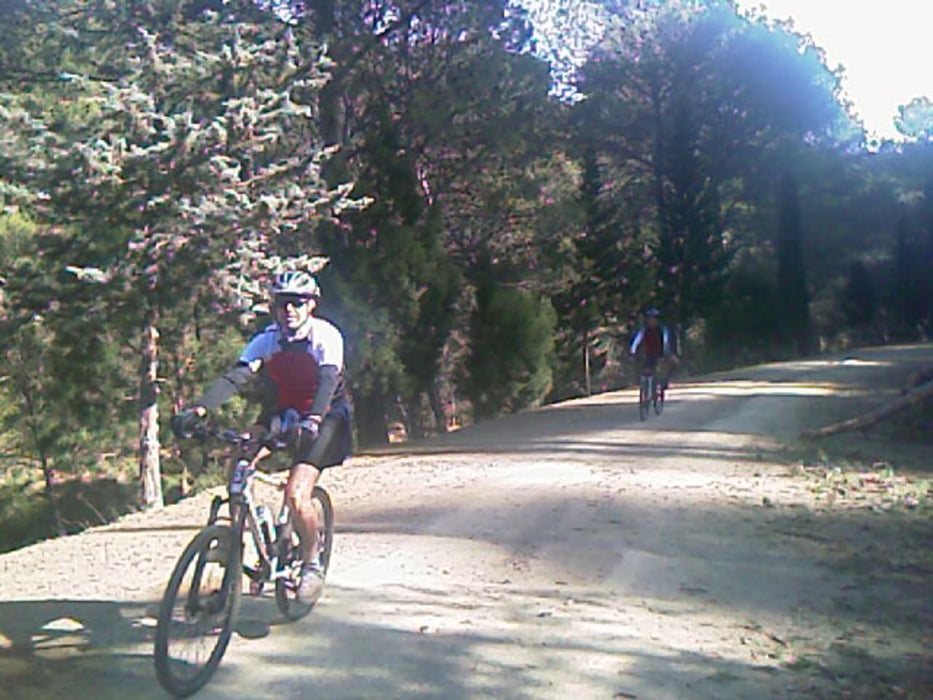
sehr schön im Wald !! hinter Malaga.Den Downhill hab ich über die Straße C345 gemacht, weil der Flieger ging. Am Wochenende ist hier richtig was los, es sind ne Menge Biker unterwegs.
Durch die vielen Wege kann man hier einige Touren machen.
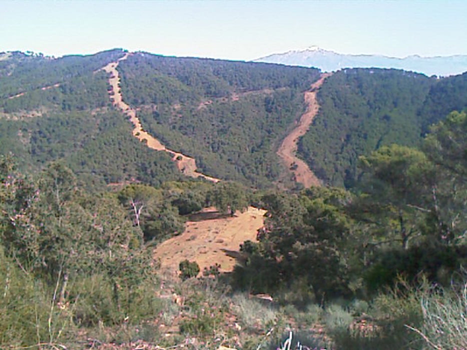
Wer's gern technisch mag unten raus Richtung Stadt sind auch eingefahrene DH Trails. Weiter oben bieten sich die Brandschneisen an.
Tour gallery
Tour map and elevation profile
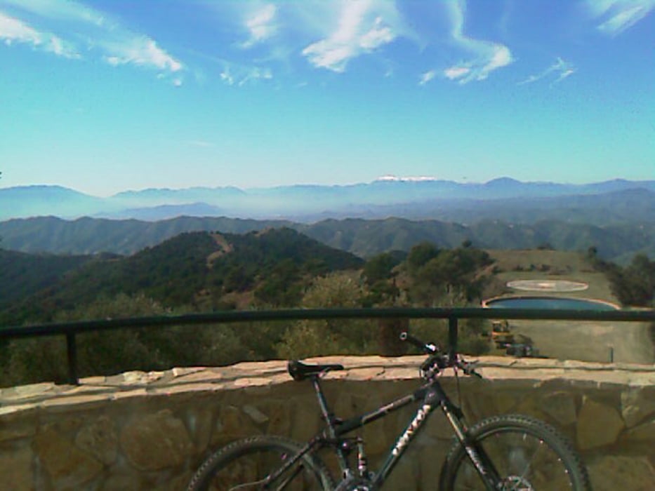
Minimum height 350 m
Maximum height 954 m
More about the tour author

|
Paul.Steffes |
Comments

In Malaga zur C345, Nord-Ost, die Straße ein Stück hoch bis man in den Naturpark abzweigen kann
GPS tracks
Trackpoints-
GPX / Garmin Map Source (gpx) download
-
TCX / Garmin Training Center® (tcx) download
-
CRS / Garmin Training Center® (crs) download
-
Google Earth (kml) download
-
G7ToWin (g7t) download
-
TTQV (trk) download
-
Overlay (ovl) download
-
Fugawi (txt) download
-
Kompass (DAV) Track (tk) download
-
Track data sheet (pdf) download
-
Original file of the author (gpx) download
More about the tour author
|
|
Paul.Steffes |
Add to my favorites
Remove from my favorites
Edit tags
Open track
My score
Rate