


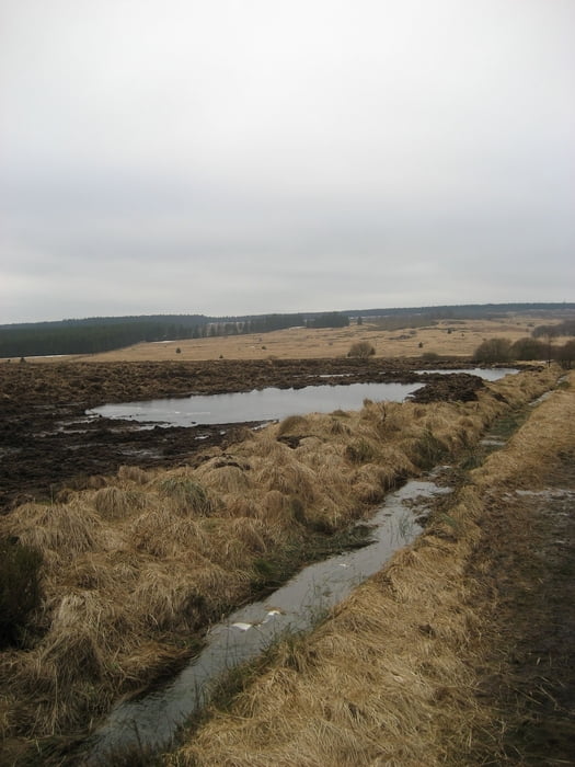
Aus Köln kommend fährt man Richtung Aachen und Eupen. Man fährt vorbei am bekannten Barraque Michel vorbei und beginnt mit der Tour am Parkplatz vom Signal de Botrange. Nachdem man die kleine Strasse überquert hat kommt man durch ein kleines Stück Wald zu der eigentlichen um diese Jahreszeit sehr trostlosen Landschaft. Es ist überall nass und morastig und man sollte besser Gummistiefel anziehen, mit Wanderschuhen kann man sich nasse Füsse holen auch wenn man auf den markierten Wegen bleibt.
Tour gallery


Tour map and elevation profile
Minimum height 548 m
Maximum height 694 m
More about the tour author
|
|
Damian |
Comments

GPS tracks
Trackpoints-
GPX / Garmin Map Source (gpx) download
-
TCX / Garmin Training Center® (tcx) download
-
CRS / Garmin Training Center® (crs) download
-
Google Earth (kml) download
-
G7ToWin (g7t) download
-
TTQV (trk) download
-
Overlay (ovl) download
-
Fugawi (txt) download
-
Kompass (DAV) Track (tk) download
-
Track data sheet (pdf) download
-
Original file of the author (gpx) download
More about the tour author
|
|
Damian |
Add to my favorites
Remove from my favorites
Edit tags
Open track
My score
Rate