


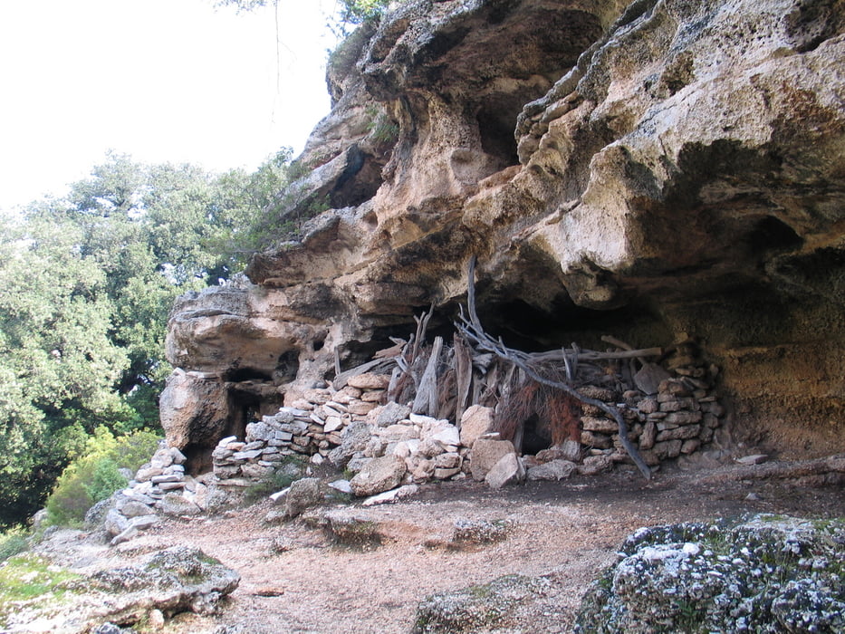
Diese Sreckenwanderung aus dem Landesinneren an eine wunderschöne Badebucht geht über einen gut ausgetretenen Pfad durch steiniges Hirtenland. Bis auf den Abstieg zur Bucht unproblematisch.
Kurz vor der Bucht kommt man direkt an einem Highlight für Kletterer vorbei - der Felsnadel Aguglia.
Tour gallery


Tour map and elevation profile
Minimum height 2 m
Maximum height 461 m
More about the tour author
|
|
ds5 |
Comments

Von Baunei aus den Schildern Galgo/Ristorante in die Berge folgen. Etwa 9 km nach Baunei an einer Kreuzung mit einem Fahrweg nach rechts abbiegen. Nach einem km kommt man auf einen bewachten Parkplatz. Von dort geht es nur noch zu Fuß weiter.
GPS tracks
Trackpoints-
GPX / Garmin Map Source (gpx) download
-
TCX / Garmin Training Center® (tcx) download
-
CRS / Garmin Training Center® (crs) download
-
Google Earth (kml) download
-
G7ToWin (g7t) download
-
TTQV (trk) download
-
Overlay (ovl) download
-
Fugawi (txt) download
-
Kompass (DAV) Track (tk) download
-
Track data sheet (pdf) download
-
Original file of the author (gpx) download
More about the tour author
|
|
ds5 |
Add to my favorites
Remove from my favorites
Edit tags
Open track
My score
Rate