


Diese Wanderung von Santa Maria Navarrese zur Felsnadel Perda Longa hält sich mit nur wenigen steilen Stellen immer hoch über der Küste des Golfo di Arbatax. An der Perda Longa gibt es die Möglichkeit zu einem Abstieg zum Meer sowie eine kleine Trattoria. Zurück geht es auf gleichem Weg.
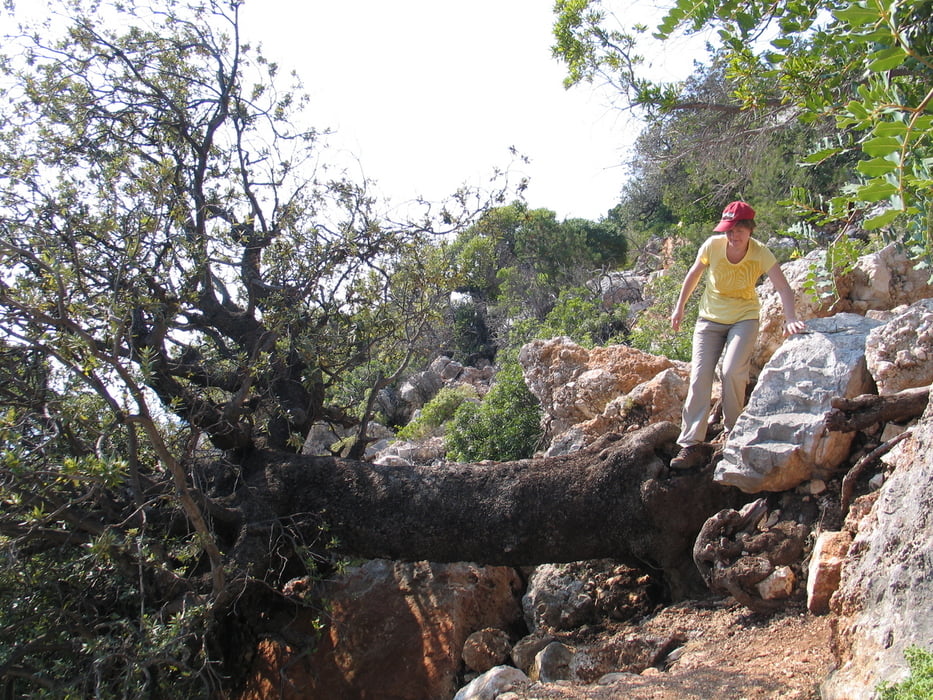
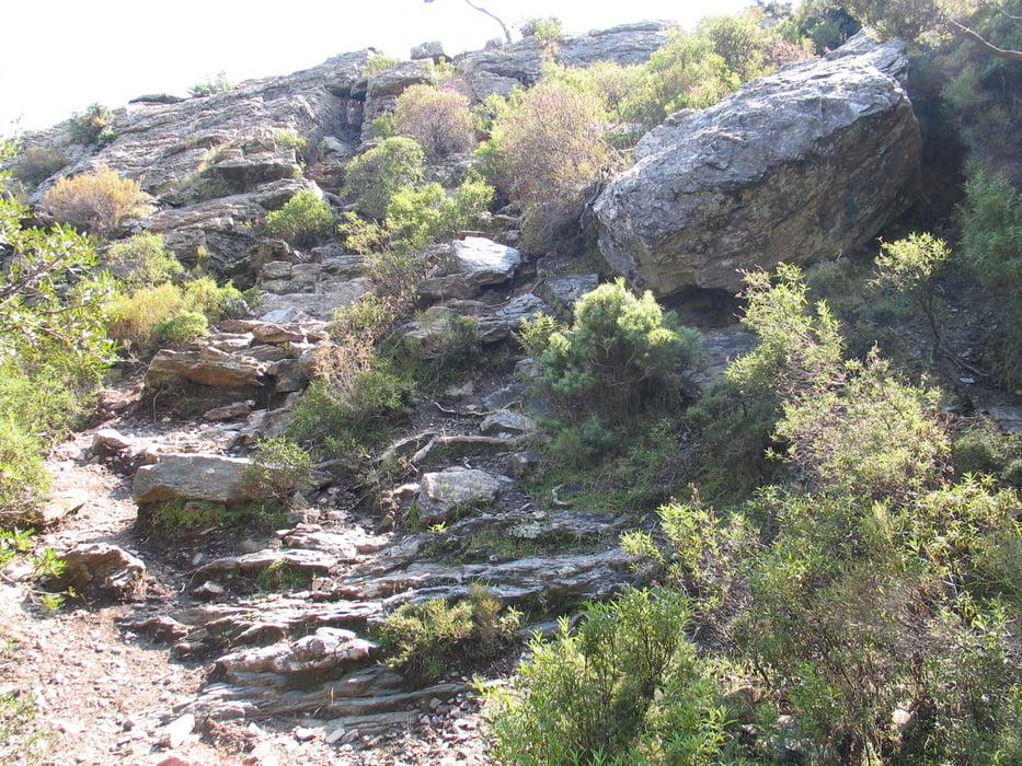
Der Weg ist nur an wenigen Stellen problematisch. An einer Stelle ist es so steil und rutschig, dass wir lieber die Hände zu Hilfe genommen haben. An einer anderen Stelle hatten sich durch einen Hangrutsch einige richtige Kletterpassagen gebildet. Trittsicherheit ist an mehreren Stellen nötig.
PS: Die angegebene Entfernung und Zeit gelten für Hin- und Rückweg ohne Pause an der Perda Longa.
Tour gallery


Tour map and elevation profile
Minimum height 28 m
Maximum height 399 m
More about the tour author
|
|
ds5 |
Comments

Die Tour startet auf dem Parkplatz hinter dem Ostello Bellavista in Santa Maria Navarrese.
GPS tracks
Trackpoints-
GPX / Garmin Map Source (gpx) download
-
TCX / Garmin Training Center® (tcx) download
-
CRS / Garmin Training Center® (crs) download
-
Google Earth (kml) download
-
G7ToWin (g7t) download
-
TTQV (trk) download
-
Overlay (ovl) download
-
Fugawi (txt) download
-
Kompass (DAV) Track (tk) download
-
Track data sheet (pdf) download
-
Original file of the author (gpx) download
More about the tour author
|
|
ds5 |
Add to my favorites
Remove from my favorites
Edit tags
Open track
My score
Rate