


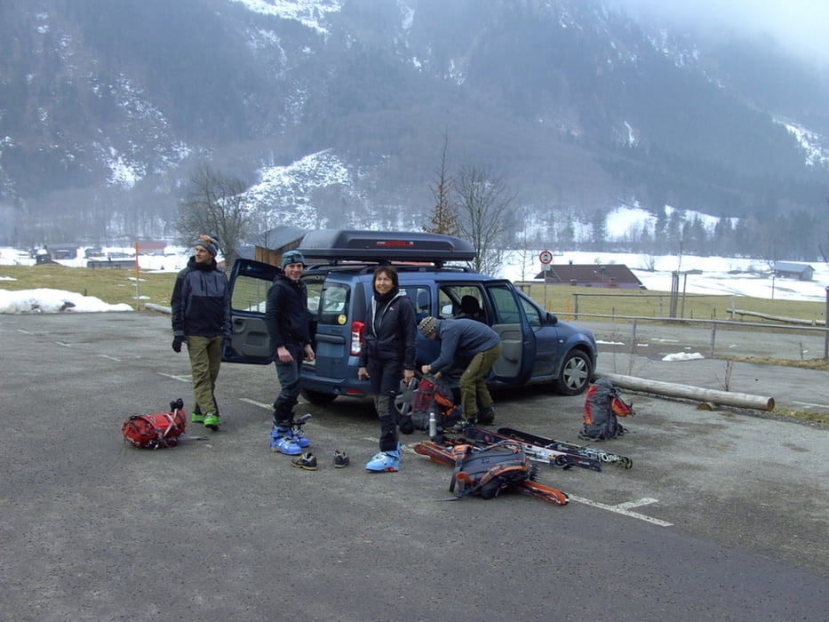
Zweitagestour mit Übernachtung auf dem Prinz-Luitpold-Haus.
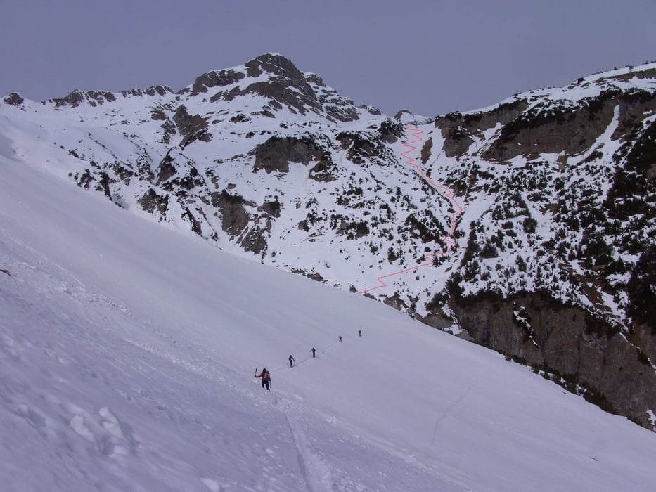
Mit dem Bus von Hinterstein zum Giebelhaus. Weiter kurz vor der Pointhütte nach links über den Bach vorbei an der Unteren Bärgündelealpe zum Prinz-Luitpoldhaus. Übernachtung im Winterraum. Am nächsten Tag Anfangs ähnlich dem Jubiläumsweg zur Bockkarscharte (300 Hm). Von der Scharte Abfahrt an der Bergwachthütte vorbei bis zum Kastenwald im Schwarzwassertal. Dann wieder Felle anschnallen und hinüberqueren zum Reitgehrenbach. Danach folgt ein sehr steiler Anstieg von etwa 300 Hm, wobei gute Spitzkehrentechnik von Vorteil ist zum Sattel zwischen Sattelkopf und Schänzlekopf. Von da an etwa 800 Hm Abfahrt durch das Erzbergtal zur Straße und mit dem Bus wieder zurück zum Parkplatz in Hinterstein. Vom Sattel eher etwas links halten, um die Felsabbrüche im Schänzle zu umgehen und dann die orographische linke Seite des Erzbergtales hinaus zu fahren. Vom Mitterhof bis zum Talausgang sind nochmal steile Nordosthänge zu queren (Sommerweg). Also nur bei sicheren Verhälnissen.
Tour gallery

Tour map and elevation profile
Minimum height 1029 m
Maximum height 2175 m
More about the tour author
|
|
yr1willi |
Comments

Von Kempten (Allgäu) über Sonthofen nach Hinterstein. Ausreichende Parkmöglichkeit am gebührenpflichtigen Parkplatz am Ende von Hinterstein.
Linienverkehr Hinterstein-Giebelhaus Fahrplan 2010GPS tracks
Trackpoints-
GPX / Garmin Map Source (gpx) download
-
TCX / Garmin Training Center® (tcx) download
-
CRS / Garmin Training Center® (crs) download
-
Google Earth (kml) download
-
G7ToWin (g7t) download
-
TTQV (trk) download
-
Overlay (ovl) download
-
Fugawi (txt) download
-
Kompass (DAV) Track (tk) download
-
Track data sheet (pdf) download
-
Original file of the author (gpx) download
More about the tour author
|
|
yr1willi |
Add to my favorites
Remove from my favorites
Edit tags
Open track
My score
Rate