
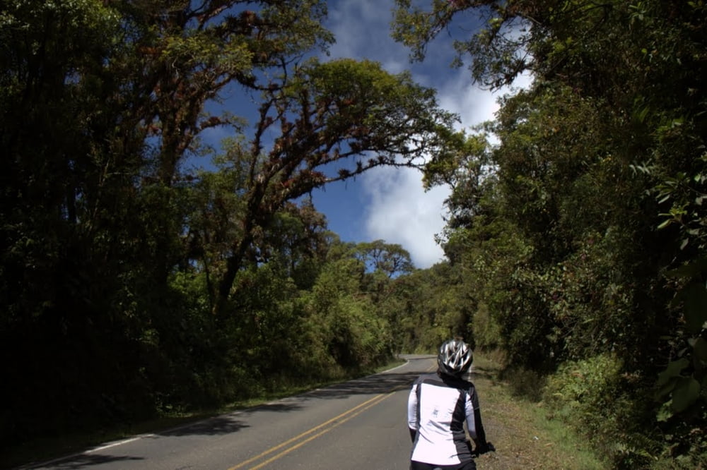

Die Tour wurde mit Gepäck durchgeführt. Übernachtet wurde in günstigen Motels, "Cabinas" und Mittelklassehotels. Start Alajuela- Poas - Arenal - Nicoya Halbinsel - Cara NP - Miguel Antonion NP - Pazifikküste bis Dominical - San Isidro - via CN2 durch die Cordilliera Cental - Cartago - Orosital - Turriallba - Rafting Pacuare - Vulkan Irazu - Cartago - Alajuela.
Die Straßen sind teilweise sehr steil ! Versorgungstechnisch gibt es keinerlei Probleme. Vielbefahrene Strecken wurden gemieden. Die CN2 (interamericana wurde an einem Sonntag befahren - nahezu keine Lkw).
Das Rad sollte gute Bremsen haben, da es genauso steil bergab wie bergauf geht.
Further information at
http://www.grobstollig.deTour gallery

Tour map and elevation profile
Minimum height -26 m
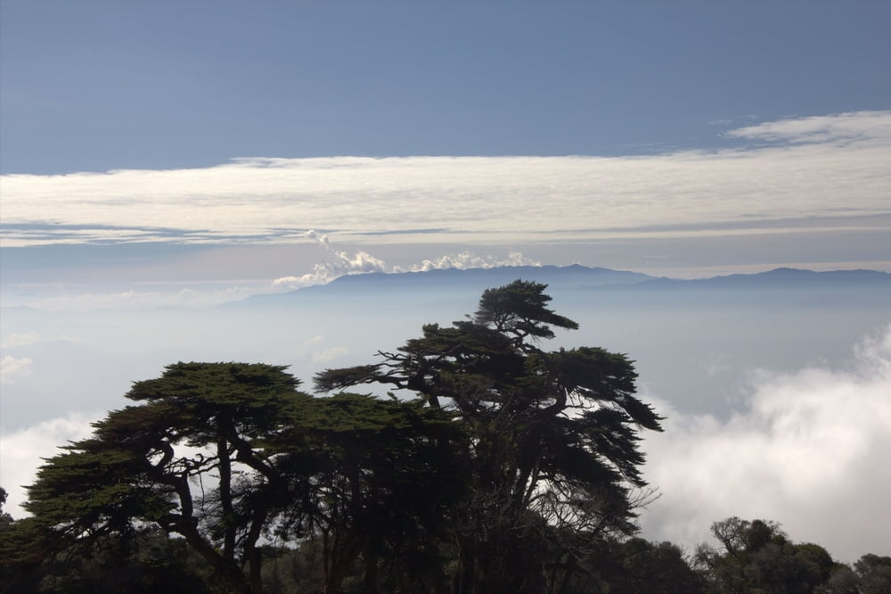
Maximum height 3354 m
More about the tour author
|
|
eisenbereifter3 |
Comments

Günstigster Fahrradtransport derzeit :Continental Airlines (100 D ollar pro Rad - pro Strecke)
GPS tracks
Trackpoints-
GPX / Garmin Map Source (gpx) download
-
TCX / Garmin Training Center® (tcx) download
-
CRS / Garmin Training Center® (crs) download
-
Google Earth (kml) download
-
G7ToWin (g7t) download
-
TTQV (trk) download
-
Overlay (ovl) download
-
Fugawi (txt) download
-
Kompass (DAV) Track (tk) download
-
Track data sheet (pdf) download
-
Original file of the author (gpx) download
More about the tour author
|
|
eisenbereifter3 |
Add to my favorites
Remove from my favorites
Edit tags
Open track
My score
Rate