

Aufstieg: 3 Stunden
Abfahrt: 1 Stunde 10 Minuten
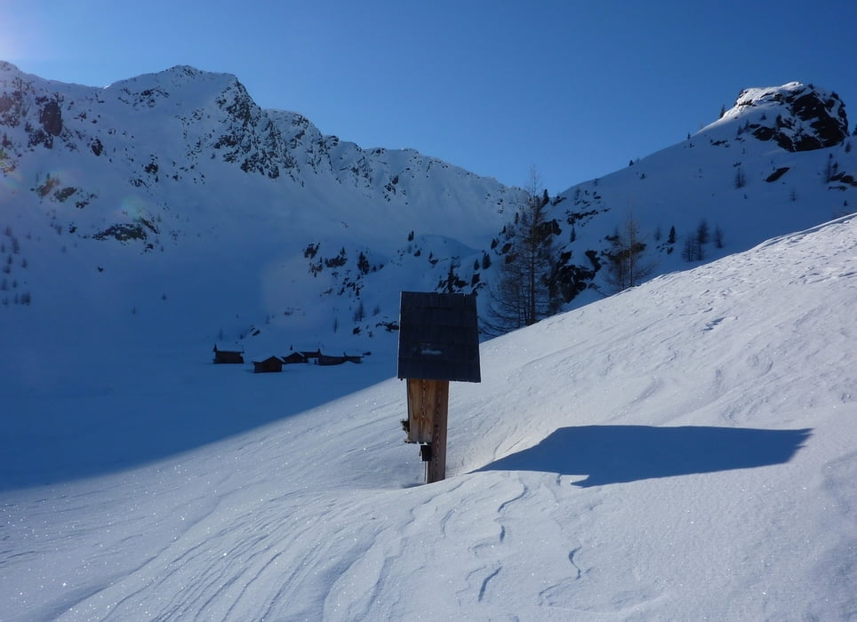
Vom Staubecken steigt man über den Weg durch den Wald auf und gelangt zu den Gößnitzer Hütten.
Danach entlang der linken Talseite zu den Almhütten der "Stalla Wölla".
Zum Hochkreuz steigt man rechts über nicht allzu steile Böden höher, und gelangt über den NW-Grat zum Gipfel (Schidepot unter dem Gipfel).
Abfahrt: nach der Stalla Wölla gleich links, ein steiles Waldstück hinunter am Ende davon kommt man wieder zur Aufstiegsspur.
Tour gallery


Tour map and elevation profile
Minimum height 1441 m
Maximum height 2711 m
More about the tour author
|
|
harald07071 |
Comments

Von Spittal a.d. Drau ins Mölltal kurz vor Stall biegt man in die Straße zum Wöllatal ab.
GPS tracks
Trackpoints-
GPX / Garmin Map Source (gpx) download
-
TCX / Garmin Training Center® (tcx) download
-
CRS / Garmin Training Center® (crs) download
-
Google Earth (kml) download
-
G7ToWin (g7t) download
-
TTQV (trk) download
-
Overlay (ovl) download
-
Fugawi (txt) download
-
Kompass (DAV) Track (tk) download
-
Track data sheet (pdf) download
-
Original file of the author (gpx) download
More about the tour author
|
|
harald07071 |
Add to my favorites
Remove from my favorites
Edit tags
Open track
My score
Rate