Login

Forgotten password?

Cookies have to be accepted!
Your browser's cookie functionality is disabled. Please enable this functionality.

Not a member yet?

Register now
Login

Available for registred users only

Log in to use this feature.

Forgotten password?

Cookies have to be accepted!
Your browser's cookie functionality is disabled. Please enable this functionality.

Not a member yet?

Register now
Filter
Categories
Advanced filters
  • Distance (km)
  • Height
Save filters Reset filter

TrackRank

QRCode

Technical data

Distance127,4 km Height1001 m Way down622 m Duration07:00 h:m Date06.03.2011
Scores Author Landscape Fun factor Fitness Technique

Statistics

337 Views Scores 63 Downloads Average
Rate
  • Track data sheet
  • Directions
  • Downloads

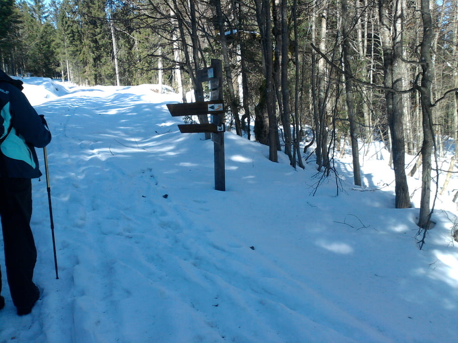
Ab Parkplatz "weise Brücke"  dem Hauptweg folgend. Nach kurzer Zeit abbiegen auf Waldweg.

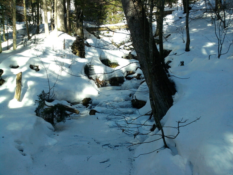
Es besteht die Möglichkeit auf dem Forstweg zu bleiben, im Winter sehr sinnvoll, im Sommer aber am Bach entlang. Erfordert keine besondere Kondition, ist auch mit Kinder schön zu laufen.

Tour gallery

Tour map and elevation profile

  • Open Street Map
  • Google
Minimum height 258 m Maximum height 1309 m Detailed view

More about the tour author

Alpenbock
Member since 2010

Send private message

Comments

Von Zwiesel über Lindberg zum Parkplatz.

GPS tracks

Trackpoints
  • GPX / Garmin Map Source (gpx) download
  • TCX / Garmin Training Center® (tcx) download
  • CRS / Garmin Training Center® (crs) download
  • Google Earth (kml) download
  • G7ToWin (g7t) download
  • TTQV (trk) download
  • Overlay (ovl) download
  • Fugawi (txt) download
  • Kompass (DAV) Track (tk) download
  • Track data sheet (pdf) download
  • Original file of the author (gpx) download

More about the tour author

Alpenbock
Member since 2010

Send private message
Share track
Add to my favorites
Remove from my favorites
Edit tags
My score
Rate
Track: Falkenstein
Type: Hiking
Distance: 127,4 km
Evaluated on:
Duration:
Day(s)
Hour(s)
Minute(s)
Score: Landscape Fun factor Fitness Technique