


Rundtour ab Woerth
vor allem Forstautobahnen. Es gibt eigentlich keinen Grund, diese Tour nachzufahren.
Sollte es jemand doch machen, gibt es nicht viel zu berichten.
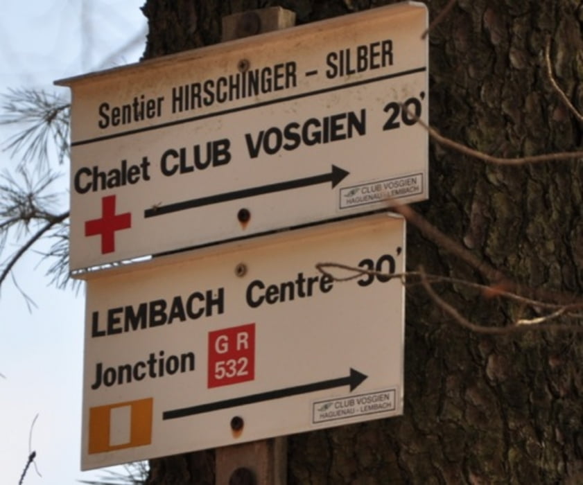
Es gibt einen Singletrail vor Lembach und einen bei Nonnenhardt, zum See hinab.
Der Rest ist Forstautobahn.
Vielleicht kann man das als Trainingsrunde machen, wenn weiter oben noch Schnee liegt.
Vorher sollte man sich mal über Froeschwiller im Internet informieren, warum stehen da so viele Denkmäler 'rum?
vor allem Forstautobahnen. Es gibt eigentlich keinen Grund, diese Tour nachzufahren.
Sollte es jemand doch machen, gibt es nicht viel zu berichten.
Es gibt einen Singletrail vor Lembach und einen bei Nonnenhardt, zum See hinab.
Der Rest ist Forstautobahn.
Vielleicht kann man das als Trainingsrunde machen, wenn weiter oben noch Schnee liegt.
Vorher sollte man sich mal über Froeschwiller im Internet informieren, warum stehen da so viele Denkmäler 'rum?
Tour gallery


Tour map and elevation profile
Minimum height 149 m
Maximum height 504 m
More about the tour author
|
|
RandB |
Comments

GPS tracks
Trackpoints-
GPX / Garmin Map Source (gpx) download
-
TCX / Garmin Training Center® (tcx) download
-
CRS / Garmin Training Center® (crs) download
-
Google Earth (kml) download
-
G7ToWin (g7t) download
-
TTQV (trk) download
-
Overlay (ovl) download
-
Fugawi (txt) download
-
Kompass (DAV) Track (tk) download
-
Track data sheet (pdf) download
-
Original file of the author (gpx) download
More about the tour author
|
|
RandB |
Add to my favorites
Remove from my favorites
Edit tags
Open track
My score
Rate