Login

Forgot your login?

Cookies have to be accepted!
Your browser's cookie functionality is disabled. Please enable this functionality.

Not a member yet?

Register now
Login

Available for registred users only

Log in to use this feature.

Forgot your login?

Cookies have to be accepted!
Your browser's cookie functionality is disabled. Please enable this functionality.

Not a member yet?

Register now
Filter
Categories
Advanced filters
  • Distance (km)
  • Height
Save filters Reset filter

TrackRank

QRCode

Technical data

Distance16,2 km Height1066 m Way down1087 m Duration06:00 h:m Date07.03.2011
Scores Author Landscape Fun factor Fitness Technique

Statistics

223 Views Scores 26 Downloads Average
Rate
  • Track data sheet
  • Directions
  • Downloads

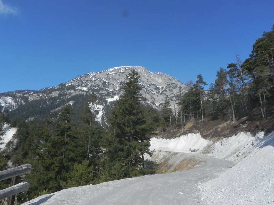
Im Wesentlichen folgt der Wanderweg der Mautstraße mit einigen doch recht netten Abweichungen. Immer Südseitig geht es hoch zum Skigebiet und über die Piste zum Gipfel. Nette Einkehrmöglichkeiten entlang der Skipiste.

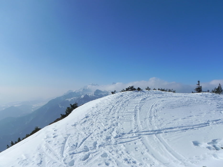
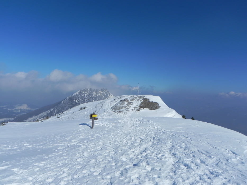
Abstieg wie Aufstieg. Je nach Lust kann man auf der Mautstraße bleiben.

Tour gallery

Tour map and elevation profile

  • Open Street Map
  • Google
Minimum height 974 m Maximum height 2062 m Detailed view

More about the tour author

Zoechi
Member since 2008

Send private message

Comments

GPS tracks

Trackpoints
  • GPX / Garmin Map Source (gpx) download
  • TCX / Garmin Training Center® (tcx) download
  • CRS / Garmin Training Center® (crs) download
  • Google Earth (kml) download
  • G7ToWin (g7t) download
  • TTQV (trk) download
  • Overlay (ovl) download
  • Fugawi (txt) download
  • Kompass (DAV) Track (tk) download
  • Track data sheet (pdf) download
  • Original file of the author (gpx) download

More about the tour author

Zoechi
Member since 2008

Send private message
Share track
Add to my favorites
Remove from my favorites
Edit tags
My score
Rate
Track: Stoderzinken
Type: Hiking
Distance: 16,2 km
Evaluated on:
Duration:
Day(s)
Hour(s)
Minute(s)
Score: Landscape Fun factor Fitness Technique