Login

Forgot your login?

Cookies have to be accepted!
Your browser's cookie functionality is disabled. Please enable this functionality.

Not a member yet?

Register now
Login

Available for registred users only

Log in to use this feature.

Forgot your login?

Cookies have to be accepted!
Your browser's cookie functionality is disabled. Please enable this functionality.

Not a member yet?

Register now
Filter
Categories
Advanced filters
  • Distance (km)
  • Height
Save filters Reset filter

TrackRank

QRCode

Technical data

Distance33,2 km Height403 m Way down405 m Duration02:10 h:m Date07.03.2011
Scores Author User Landscape Fun factor Fitness Technique

Statistics

283 Views 2 Scores 44 Downloads 4.50 Average
Rate
  • Track data sheet
  • Directions
  • Downloads


Eine wunderschöne Strecke quer durch das nördliche Land von Nordhausen. An einigen Anstiegen wird eine gute Kondition benötigt sowie an den langen Abfahrten ein sicheres Mountainbike.

Die Strecke liegt sehr ruhig und fern jeglicher motorisierter Fahrzeuge.
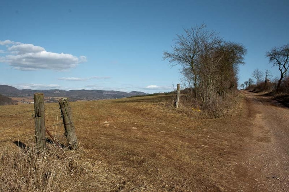
Tour gallery

Tour map and elevation profile

  • Open Street Map
  • Google
Minimum height 195 m Maximum height 524 m Detailed view

More about the tour author

keyoshix
Member since 2009

Send private message

Comments

Eintracht on 26.06.2022

Nette Runde

Sehr schöne Runde auf sehr gut zu fahrenden Wegen und abseits vom Verkehr.
Zu empfehlen!


Treffpunkt Subway Nordhausen.


GPS tracks

Trackpoints
  • GPX / Garmin Map Source (gpx) download
  • TCX / Garmin Training Center® (tcx) download
  • CRS / Garmin Training Center® (crs) download
  • Google Earth (kml) download
  • G7ToWin (g7t) download
  • TTQV (trk) download
  • Overlay (ovl) download
  • Fugawi (txt) download
  • Kompass (DAV) Track (tk) download
  • Track data sheet (pdf) download
  • Original file of the author (gpx) download

More about the tour author

keyoshix
Member since 2009

Send private message
Share track
Add to my favorites
Remove from my favorites
Edit tags
My score
Rate
Track: NDH - Neustadt - Poppenberg - Ilfeld
Type: Mountain bike
Distance: 33,2 km
Evaluated on:
Duration:
Day(s)
Hour(s)
Minute(s)
Score: Landscape Fun factor Fitness Technique