
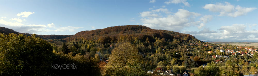

Eine tolle Strecke mitten durch die Bleicheröder Berge. Treffpunkt ist hier der Parkplatz am Waldhäuschen auf dem Vogelberg.
Die Strecke begeistert mit drei flowigen Trails bergab, mehreren (ich glaube es waren vier) tollen Aussichtspunkten über die umliegenden Täler (nach Nordhausen, Sollstedt sowie Lipprechterode / Brocken).
Gezeigt wurde sie mir von Sascha (http://www.mtb-news.de/forum/member.php?u=116347)
Tour map and elevation profile
Minimum height 380 m
Maximum height 481 m
More about the tour author

|
keyoshix |
Comments

Treffpunkt ist der Parkplatz auf dem Vogelberg (Achtung: GPS File verweist auf Parkplatz von Wohn- und Therapiezentrum; dieser Parkplatz ist nicht öffentlich!)
GPS tracks
Trackpoints-
GPX / Garmin Map Source (gpx) download
-
TCX / Garmin Training Center® (tcx) download
-
CRS / Garmin Training Center® (crs) download
-
Google Earth (kml) download
-
G7ToWin (g7t) download
-
TTQV (trk) download
-
Overlay (ovl) download
-
Fugawi (txt) download
-
Kompass (DAV) Track (tk) download
-
Track data sheet (pdf) download
-
Original file of the author (gpx) download
More about the tour author
|
|
keyoshix |
Add to my favorites
Remove from my favorites
Edit tags
Open track
My score
Rate