

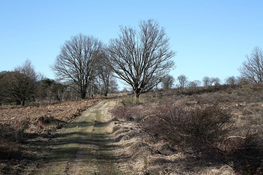
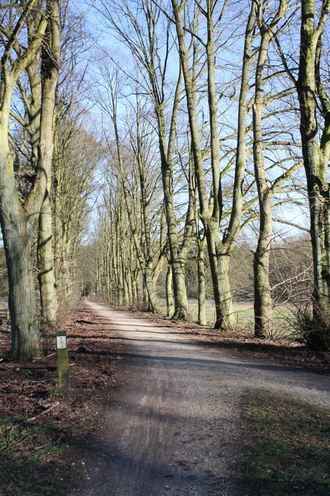
Tour durch den Natinalpark de Meinweg, der Teil des Naturparks Schwalm-Nette ist.
Sehr schönes, großes und abwechslungeich Gebiet: Wald-, Moor-, Heidelandschaft. Wege sind unterschiedlich beschaffen, Sand-, Waldweg....
Gut in ca. 30 bis 45 min aus dem Großraum Düsseldorf zu erreichen.
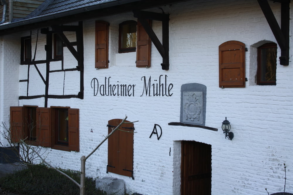
Einkehrmöglichkeit: Dalheimer Mühle
Auch für Radfahrer und Reiter geeignet!
Start und Ziel ist die Dalheimer Mühle (Dalheim-Roedgen) N51 08.876 E6 09.809
Bitte bedenken wenn man die Fotos ansieht, wir waren Mitte März dort!!!
Further information at
http://www.dalheim-roedgen-im-bild.de/21.htmlTour gallery


Tour map and elevation profile
Minimum height -2 m
Maximum height 94 m
More about the tour author

|
Tomwalterfrank |
Comments

Anfahrt über A52 AS Niederkrüchten B221
Start und Ziel ist die Dalheimer Mühle (Dalheim-Roedgen) N51 08.876 E6 09.809
oder folgender Parkplatz N51 09.075 E6 09.952 kürzt den Weg aber nur unwesentlich (vielleicht 300/400 Meter) ab.
GPS tracks
Trackpoints-
GPX / Garmin Map Source (gpx) download
-
TCX / Garmin Training Center® (tcx) download
-
CRS / Garmin Training Center® (crs) download
-
Google Earth (kml) download
-
G7ToWin (g7t) download
-
TTQV (trk) download
-
Overlay (ovl) download
-
Fugawi (txt) download
-
Kompass (DAV) Track (tk) download
-
Track data sheet (pdf) download
-
Original file of the author (gpx) download
More about the tour author
|
|
Tomwalterfrank |
Add to my favorites
Remove from my favorites
Edit tags
Open track
My score
Rate