


Wir starten unseren Langlauf-Tag mit dem Einstieg in die Loipe
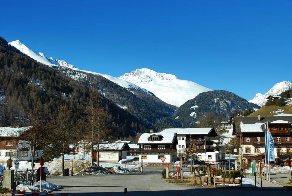
am Parkplatz der Skiarena in St. Jakob.
Die Loipe führt entlang des Baches in Richtung St. Jakob.
Weiter geht es leicht bergauf in Richtung Mariahilf.
Nach einer kurzen Rast in der Sonne beim "Alpengashof Zollwirt"
führt die Loipe etwas steiler hinauf Richtung Erlsbach.
Am Ende der Loipe gibt es die Möglichkeit mit dem Bus
hinauf zum Staller Sattel zu fahren.
Die gleiche Strecke laufen wir nach kurzer Rast zurück
zum Ausgangspunkt.
Further information at
http://www.stjakob.at/Tour gallery
Tour map and elevation profile
Minimum height 1356 m
Maximum height 1558 m
More about the tour author
|
|
Schroettner |
Comments

Parkplätze im Ort.
Am Parkplatz Skizentrum Brunnalmbahn in St. Jakob.
Parkplatz in Mariahilf, direkt an der Loipe.
GPS tracks
Trackpoints-
GPX / Garmin Map Source (gpx) download
-
TCX / Garmin Training Center® (tcx) download
-
CRS / Garmin Training Center® (crs) download
-
Google Earth (kml) download
-
G7ToWin (g7t) download
-
TTQV (trk) download
-
Overlay (ovl) download
-
Fugawi (txt) download
-
Kompass (DAV) Track (tk) download
-
Track data sheet (pdf) download
-
Original file of the author (gpx) download
More about the tour author
|
|
Schroettner |
Add to my favorites
Remove from my favorites
Edit tags
Open track
My score
Rate