


Start in Sinzig-Löhndorf an der Kirche. Auf Wirtschaftswegen parallel zur Autobahn nach Franken. Von dort auf der Landstraße bis Waldorf und weiter über Feldwege im Bogen vorbei am Rodder Maar zum Maarhof.
Am Maarhof gute Einkehrmöglichkeit und wunderbare Aussicht.
Zurück teilweise auf dem gleichen Weg, teilweise in kleinen Varianten.
Am Maarhof gute Einkehrmöglichkeit und wunderbare Aussicht.
Zurück teilweise auf dem gleichen Weg, teilweise in kleinen Varianten.
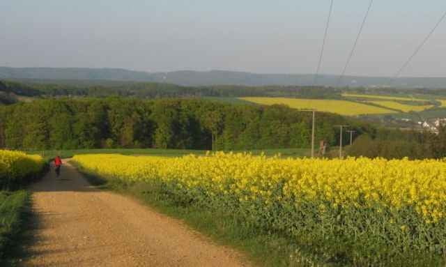
Tour gallery
Tour map and elevation profile
Minimum height 157 m
Maximum height 371 m
More about the tour author

|
LöhndorfBiker |
Comments

A61 Abfahrt Sinzig, Richtung Löhndorf, Parken am Sportplatz oder hinter der Kirche.
GPS tracks
Trackpoints-
GPX / Garmin Map Source (gpx) download
-
TCX / Garmin Training Center® (tcx) download
-
CRS / Garmin Training Center® (crs) download
-
Google Earth (kml) download
-
G7ToWin (g7t) download
-
TTQV (trk) download
-
Overlay (ovl) download
-
Fugawi (txt) download
-
Kompass (DAV) Track (tk) download
-
Track data sheet (pdf) download
-
Original file of the author (gpx) download
More about the tour author
|
|
LöhndorfBiker |
Add to my favorites
Remove from my favorites
Edit tags
Open track
My score
Rate