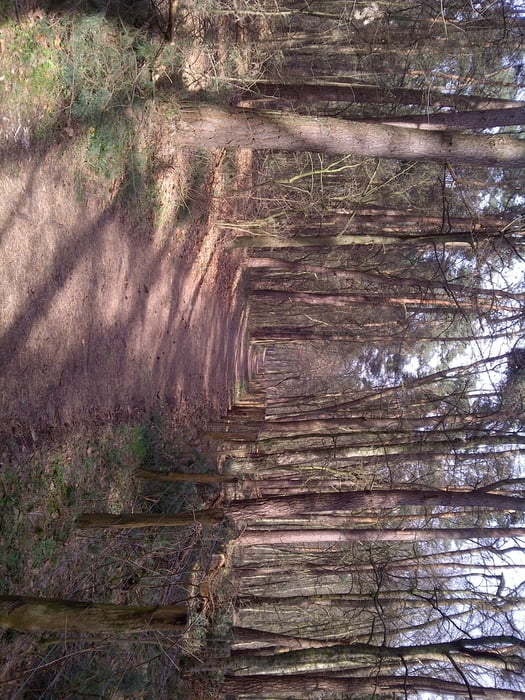
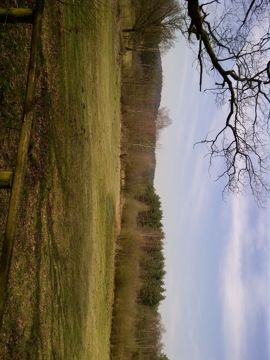
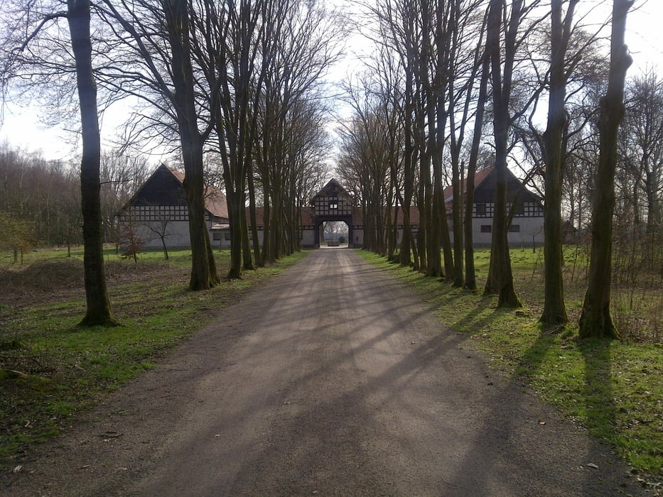
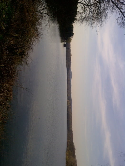
Login

Forgot your login?

Cookies have to be accepted!
Your browser's cookie functionality is disabled. Please enable this functionality.

Not a member yet?

Register now
Login

Available for registred users only

Log in to use this feature.

Forgot your login?

Cookies have to be accepted!
Your browser's cookie functionality is disabled. Please enable this functionality.

Not a member yet?

Register now
Filter
Categories
Advanced filters
  • Distance (km)
  • Height
Save filters Reset filter

TrackRank

QRCode

Technical data

Distance11,5 km Height109 m Way down99 m Duration02:00 h:m Date21.03.2011
Scores Author User Landscape Fun factor Fitness Technique

Statistics

672 Views 1 Score 80 Downloads 3.00 Average
Rate
  • Track data sheet
  • Directions
  • Downloads

Tour gallery

Tour map and elevation profile

  • Open Street Map
  • Google
Minimum height 79 m Maximum height 115 m Detailed view

More about the tour author

Outdoor_Carsten
Member since 2011

Send private message

Comments

gerreck on 13.04.2014

Nette Runde!

Heute diese Tour gelaufen, recht angenehm zu laufen mit schön breite Wege.
Der Blick auf den See ist allerdings nicht ganz so oft zu sehen. Dafür kann mann aber an den Stellen wo mann auf den See blicken kann, auch eine Pause machen und den See genießen.
Die Runde ist aber wirklich schön, ich war zufrieden.
  • über die B58
  • Parkplatz am Heimingshof


GPS tracks

Trackpoints
  • GPX / Garmin Map Source (gpx) download
  • TCX / Garmin Training Center® (tcx) download
  • CRS / Garmin Training Center® (crs) download
  • Google Earth (kml) download
  • G7ToWin (g7t) download
  • TTQV (trk) download
  • Overlay (ovl) download
  • Fugawi (txt) download
  • Kompass (DAV) Track (tk) download
  • Track data sheet (pdf) download
  • Original file of the author (gpx) download

More about the tour author

Outdoor_Carsten
Member since 2011

Send private message
Share track
Add to my favorites
Remove from my favorites
Edit tags
My score
Rate
Track: Runde um den Hullener Stausee
Type: Hiking
Distance: 11,5 km
Evaluated on:
Duration:
Day(s)
Hour(s)
Minute(s)
Score: Landscape Fun factor Fitness Technique