Login

Forgot your login?

Cookies have to be accepted!
Your browser's cookie functionality is disabled. Please enable this functionality.

Not a member yet?

Register now
Login

Available for registred users only

Log in to use this feature.

Forgot your login?

Cookies have to be accepted!
Your browser's cookie functionality is disabled. Please enable this functionality.

Not a member yet?

Register now
Filter
Categories
Advanced filters
  • Distance (km)
  • Height
Save filters Reset filter

TrackRank

QRCode

Technical data

Distance59,9 km Height723 m Way down713 m Duration04:00 h:m Date23.03.2011
Scores Author Landscape Fun factor Fitness Technique

Statistics

504 Views Scores 91 Downloads Average
Rate
  • Track data sheet
  • Directions
  • Downloads

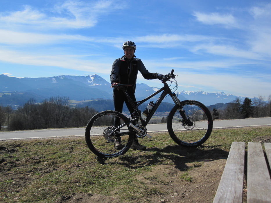
Schöne Runde von Anger zum Waginger See. Teils auf Asphalt viel Fostwege und Trails.

Man Radlt im Uhrzeigersinn!

Bitte achtet auf Wanderer, ein Freundliches Gruß Gott hat noch nie geschadet!

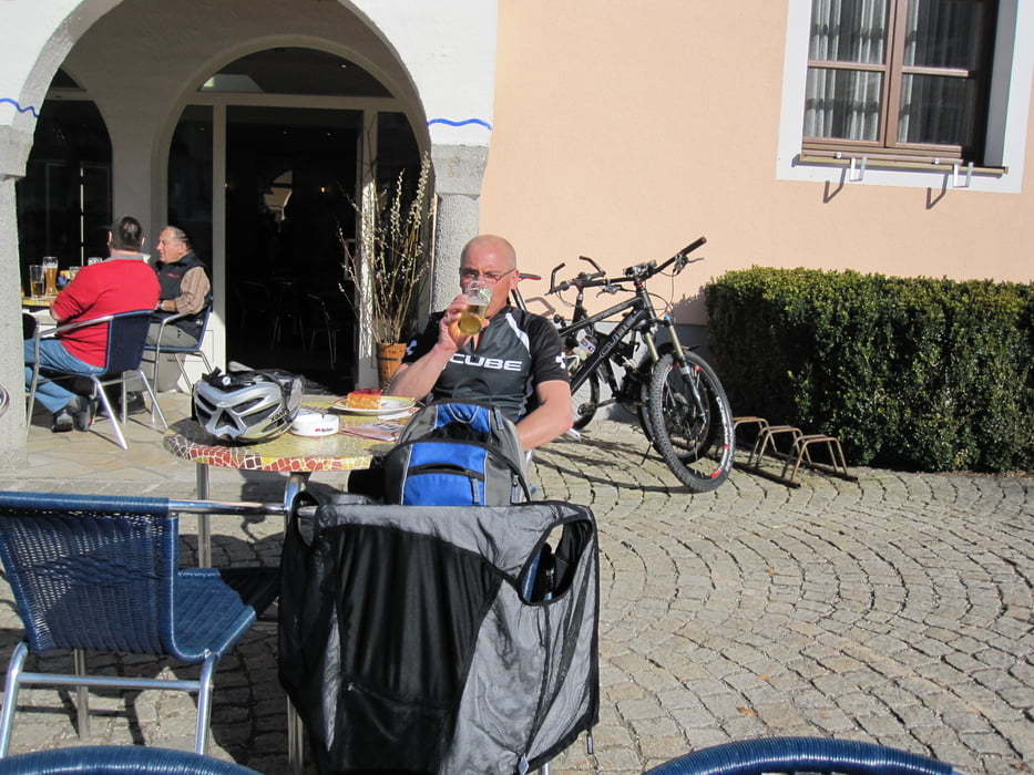
Sehr zu empfehlen ist das Eiscafe nach Tourenende in Anger am Dorfplatz, sehr Sonnig!!!

Tour gallery

Tour map and elevation profile

  • Open Street Map
  • Google
Minimum height 439 m Maximum height 625 m Detailed view

More about the tour author

punkt245
Member since 2008

Send private message

Comments

A8 Richtung Salzburg. Vor Bad Reichenhall gibt es eine Behelfs Ausfahrt. Gleich unter dem Ortskern Parken. 300m von der Autobahn

GPS tracks

Trackpoints
  • GPX / Garmin Map Source (gpx) download
  • TCX / Garmin Training Center® (tcx) download
  • CRS / Garmin Training Center® (crs) download
  • Google Earth (kml) download
  • G7ToWin (g7t) download
  • TTQV (trk) download
  • Overlay (ovl) download
  • Fugawi (txt) download
  • Kompass (DAV) Track (tk) download
  • Track data sheet (pdf) download
  • Original file of the author (gpx) download

More about the tour author

punkt245
Member since 2008

Send private message
Share track
Add to my favorites
Remove from my favorites
Edit tags
My score
Rate
Track: Anger-Waiginer See
Type: Mountain bike
Distance: 59,9 km
Evaluated on:
Duration:
Day(s)
Hour(s)
Minute(s)
Score: Landscape Fun factor Fitness Technique