Login

Forgotten password?

Cookies have to be accepted!
Your browser's cookie functionality is disabled. Please enable this functionality.

Not a member yet?

Register now
Login

Available for registred users only

Log in to use this feature.

Forgotten password?

Cookies have to be accepted!
Your browser's cookie functionality is disabled. Please enable this functionality.

Not a member yet?

Register now
Filter
Categories
Advanced filters
  • Distance (km)
  • Height
Save filters Reset filter

TrackRank

QRCode

Technical data

Distance9,0 km Height114 m Way down135 m Duration00:55 h:m Date27.03.2011
Scores Author User Landscape Fun factor Fitness Technique

Statistics

298 Views Scores 19 Downloads Average
Rate
  • Track data sheet
  • Directions
  • Downloads
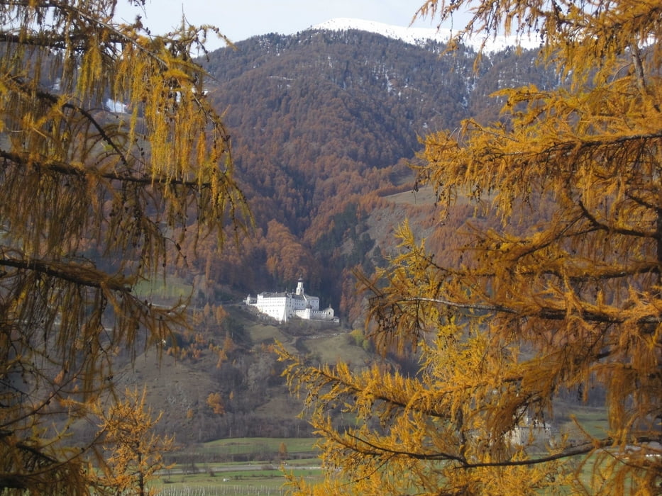
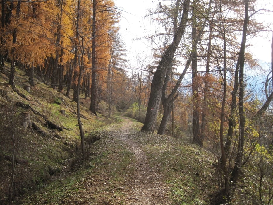
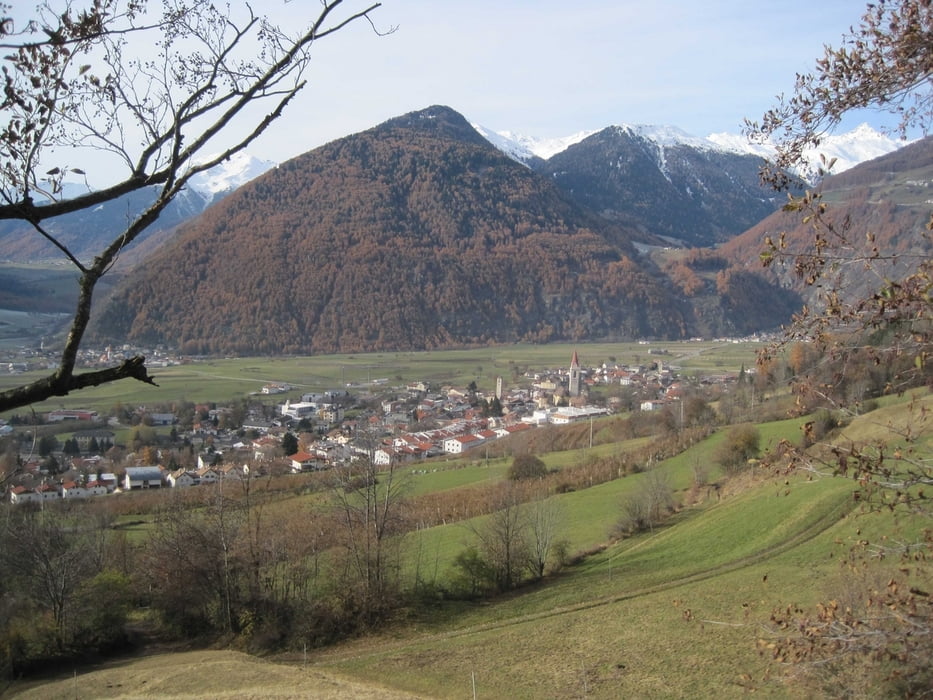
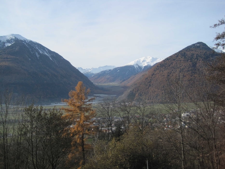
Wunderschöne Lauf- Wanderstrecke mitten in der Natur
 

Tour gallery

Tour map and elevation profile

  • Open Street Map
  • Google
Minimum height 1079 m Maximum height 1138 m Detailed view

More about the tour author

OliTommi
Member since 2010

Send private message

Comments

Von Mals aus in Richtung Planeil fahren bis am Anfang des Wanderweges "Malser Sonnensteig Nr. 17".

Links über der Brücke gibt es Pkw Parkmöglichkeiten. 

GPS tracks

Trackpoints
  • GPX / Garmin Map Source (gpx) download
  • TCX / Garmin Training Center® (tcx) download
  • CRS / Garmin Training Center® (crs) download
  • Google Earth (kml) download
  • G7ToWin (g7t) download
  • TTQV (trk) download
  • Overlay (ovl) download
  • Fugawi (txt) download
  • Kompass (DAV) Track (tk) download
  • Track data sheet (pdf) download
  • Original file of the author (gpx) download

More about the tour author

OliTommi
Member since 2010

Send private message
Share track
Add to my favorites
Remove from my favorites
Edit tags
My score
Rate
Track: Malser Sonnensteig 17- Joggen_Wandern-Südtirol
Type: Running
Distance: 9,0 km
Evaluated on:
Duration:
Day(s)
Hour(s)
Minute(s)
Score: Landscape Fun factor Fitness Technique