

Zum Lusental !
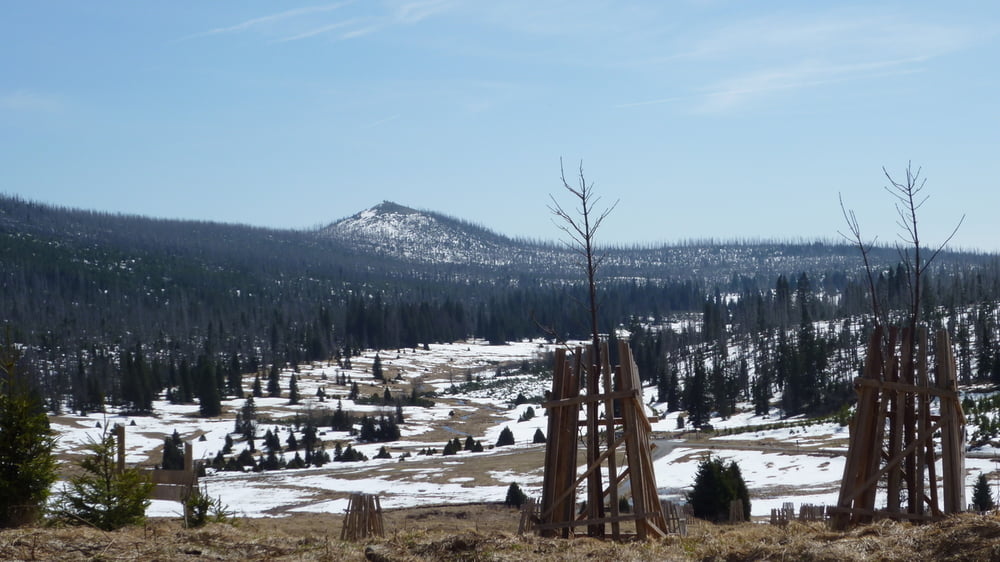
Von Modrava aus geht es zunächst steil bergauf. Nach etwa 3 Kilometern erreicht man ein Moor, dass über Holzstege zu überqueren ist. Weiter bergauf durch den Wald und Totholz erreicht man auf ca. 1260m einen tollen Aussichtspunkt mit Blick auf den Lusen. Nach 7,5 km erreicht man dann Breznik mit der Sumava Infostelle und der Klostermann Ausstellung.
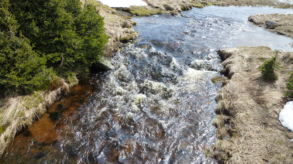
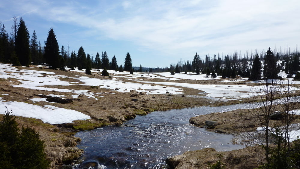
Zurück nach Modrava geht es dann entlang der Vydra, die durch ihr vom Moor rot / braun gefärbtes Wasser beeindruckt. Der Rückweg ist nicht mehr anstrengend und ebenfalls nach 7,5 km erreicht man wieder Modrava.
Von Modrava aus geht es zunächst steil bergauf. Nach etwa 3 Kilometern erreicht man ein Moor, dass über Holzstege zu überqueren ist. Weiter bergauf durch den Wald und Totholz erreicht man auf ca. 1260m einen tollen Aussichtspunkt mit Blick auf den Lusen. Nach 7,5 km erreicht man dann Breznik mit der Sumava Infostelle und der Klostermann Ausstellung.
Zurück nach Modrava geht es dann entlang der Vydra, die durch ihr vom Moor rot / braun gefärbtes Wasser beeindruckt. Der Rückweg ist nicht mehr anstrengend und ebenfalls nach 7,5 km erreicht man wieder Modrava.
Tour gallery
Tour map and elevation profile
Minimum height 979 m
Maximum height 1264 m
More about the tour author

|
preiste |
Comments

Parkplatz in Modrava
Achtung gebührenpflichtig nur Tschechische Kronen!
Achtung gebührenpflichtig nur Tschechische Kronen!
GPS tracks
Trackpoints-
GPX / Garmin Map Source (gpx) download
-
TCX / Garmin Training Center® (tcx) download
-
CRS / Garmin Training Center® (crs) download
-
Google Earth (kml) download
-
G7ToWin (g7t) download
-
TTQV (trk) download
-
Overlay (ovl) download
-
Fugawi (txt) download
-
Kompass (DAV) Track (tk) download
-
Track data sheet (pdf) download
-
Original file of the author (gpx) download
More about the tour author
|
|
preiste |
Add to my favorites
Remove from my favorites
Edit tags
Open track
My score
Rate