


Recorrido en bicicleta de montaña con alforjas desde Madrid a Badajoz pasando por Talavera de la Reina, Trujillo y Cáceres. El itinerario se puede dividir en tres tramos diferenciados. Los dos primeros dentro de los Caminos a Guadalupe: El Camino Real de Guadalupe (Madrid-Guadalupe) y el Camino de los Conquistadores (Guadalupe-Trujillo-Cáceres). El último se corresponde a la Cañada Real Soriana Occidental-Cañada Sancha Brava (Cáceres-Badajoz).
Más información: zinaztli.blogspot.com/2011/04/caminos-guadalupe-madrid-guadalupe.html
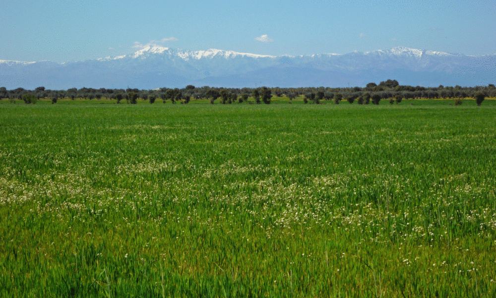
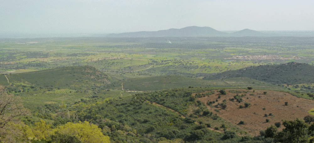
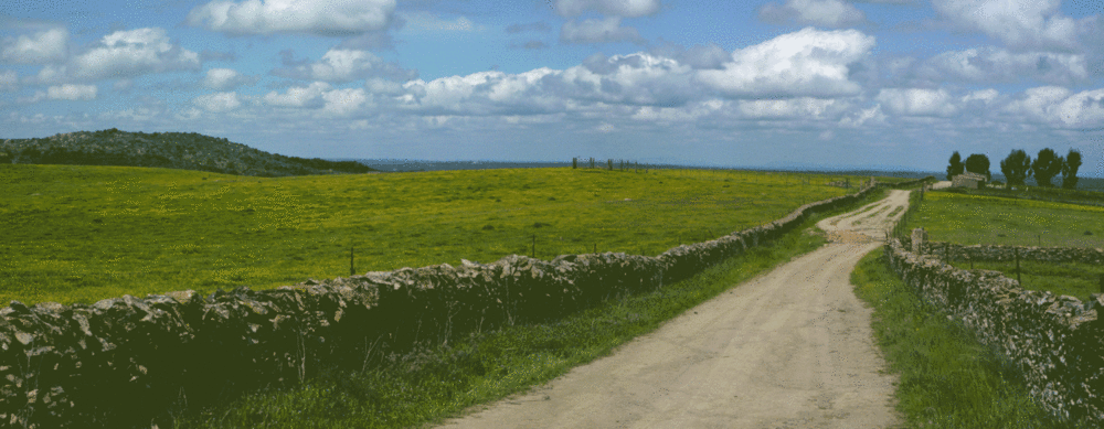
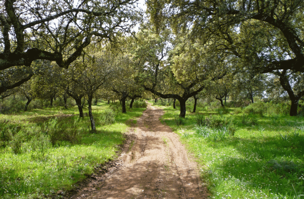
Tour gallery
Tour map and elevation profile
Minimum height 168 m
Maximum height 1085 m
More about the tour author
|
|
zinaztli |
Comments

GPS tracks
Trackpoints-
GPX / Garmin Map Source (gpx) download
-
TCX / Garmin Training Center® (tcx) download
-
CRS / Garmin Training Center® (crs) download
-
Google Earth (kml) download
-
G7ToWin (g7t) download
-
TTQV (trk) download
-
Overlay (ovl) download
-
Fugawi (txt) download
-
Kompass (DAV) Track (tk) download
-
Track data sheet (pdf) download
-
Original file of the author (gpx) download
More about the tour author
|
|
zinaztli |
Add to my favorites
Remove from my favorites
Edit tags
Open track
My score
Rate