Login

Forgotten password?

Cookies have to be accepted!
Your browser's cookie functionality is disabled. Please enable this functionality.

Not a member yet?

Register now
Login

Available for registred users only

Log in to use this feature.

Forgotten password?

Cookies have to be accepted!
Your browser's cookie functionality is disabled. Please enable this functionality.

Not a member yet?

Register now
Filter
Categories
Advanced filters
  • Distance (km)
  • Height
Save filters Reset filter

TrackRank

QRCode

Technical data

Distance73,1 km Height543 m Way down545 m Duration2 days 0 h Date08.04.2011
Scores Author Landscape Fun factor Fitness Technique

Statistics

632 Views Scores 27 Downloads Average
Rate
  • Track data sheet
  • Directions
  • Downloads
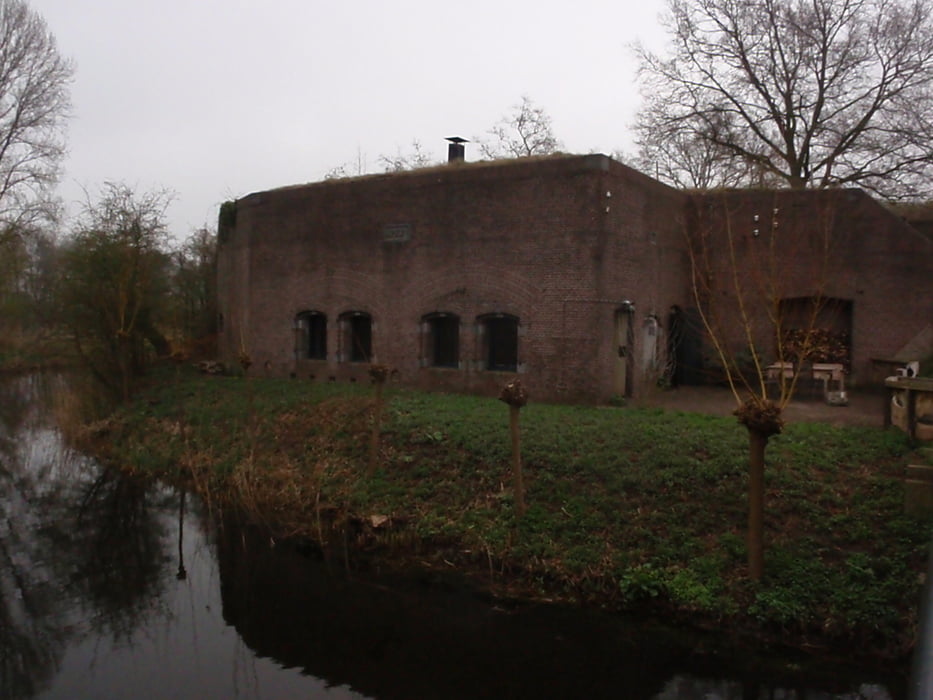
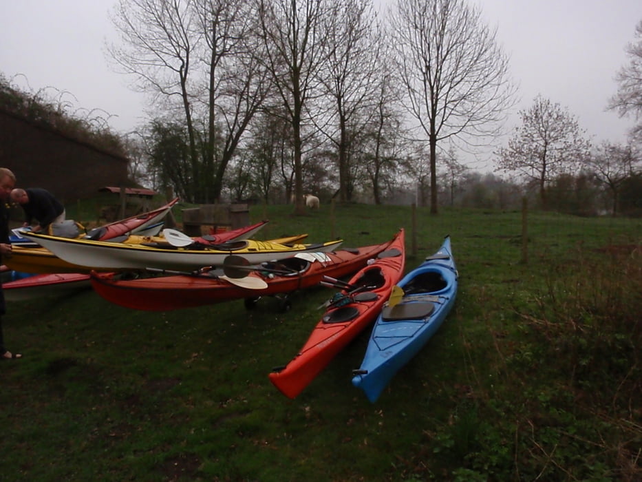
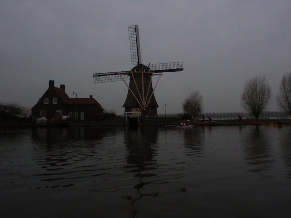
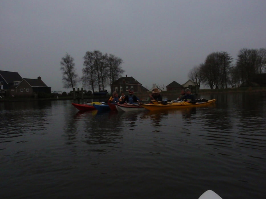
 Kanotocht van Wijk bij Duurstede via Fort Spion (Waterlinie) naar Muiden

Tour gallery

Tour map and elevation profile

  • Open Street Map
  • Google
Minimum height -40 m Maximum height 20 m Detailed view

More about the tour author

japie7
Member since 2009

Send private message

Comments

GPS tracks

Trackpoints
  • GPX / Garmin Map Source (gpx) download
  • TCX / Garmin Training Center® (tcx) download
  • CRS / Garmin Training Center® (crs) download
  • Google Earth (kml) download
  • G7ToWin (g7t) download
  • TTQV (trk) download
  • Overlay (ovl) download
  • Fugawi (txt) download
  • Kompass (DAV) Track (tk) download
  • Track data sheet (pdf) download
  • Original file of the author (gpx) download

More about the tour author

japie7
Member since 2009

Send private message
Share track
Add to my favorites
Remove from my favorites
Edit tags
My score
Rate
Track: Kromme Rijn & Veghtroute
Type: Boat and canoe
Distance: 73,1 km
Evaluated on:
Duration:
Day(s)
Hour(s)
Minute(s)
Score: Landscape Fun factor Fitness Technique