


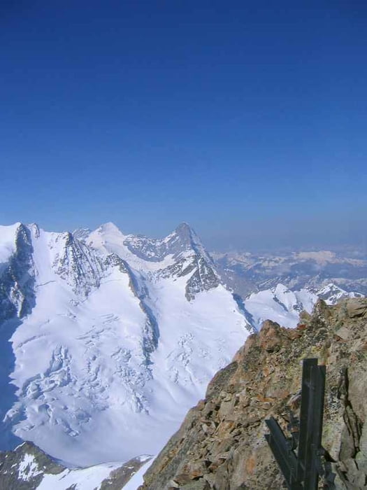
die ersten 450 Höhenmeter sind etwas mühsam durch eine teilweise enge Rinne gleich oberhalb der Hütte. Dann 60 Meter hinunter auf den Gletscher, ab da sehr weite und gleichmäßig geneigt Skihänge bis zum Gipfel. Dürfte wohl praktisch immer ohne Pickel und Steigeisen gehen. Sehr schöner Skiberg in großer Kulisse.
Tour gallery
Tour map and elevation profile
Minimum height 2170 m
Maximum height 3599 m
More about the tour author

|
Steinert |
Comments

3 mögliche Hüttenzugänge: Über das Urbachtal, über Golegghorn und über Bächlitalhütte, letzterer noch am sichersten, aber auch 1400 Höhenmeter
GPS tracks
Trackpoints-
GPX / Garmin Map Source (gpx) download
-
TCX / Garmin Training Center® (tcx) download
-
CRS / Garmin Training Center® (crs) download
-
Google Earth (kml) download
-
G7ToWin (g7t) download
-
TTQV (trk) download
-
Overlay (ovl) download
-
Fugawi (txt) download
-
Kompass (DAV) Track (tk) download
-
Track data sheet (pdf) download
-
Original file of the author (g7t) download
More about the tour author
|
|
Steinert |
Add to my favorites
Remove from my favorites
Edit tags
Open track
My score
Rate