Login

Forgot your login?

Cookies have to be accepted!
Your browser's cookie functionality is disabled. Please enable this functionality.

Not a member yet?

Register now
Login

Available for registred users only

Log in to use this feature.

Forgot your login?

Cookies have to be accepted!
Your browser's cookie functionality is disabled. Please enable this functionality.

Not a member yet?

Register now
Filter
Categories
Advanced filters
  • Distance (km)
  • Height
Save filters Reset filter

TrackRank

QRCode

Technical data

Distance263,8 km Height2369 m Way down2375 m Duration00:00 h:m Date10.04.2011
Scores Author Landscape Fun factor Fitness Technique

Statistics

1236 Views Scores 37 Downloads Average
Rate
  • Track data sheet
  • Directions
  • Downloads


Tolle Runde mit Autobahnstrecken wegen Zeitmangel als Überbrückung.

Eine Runde die auch Landschaftlich sehr reizvoll ist.

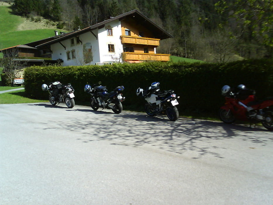
 Bei Pinegg lohnt es sich auf einen Kaffe und leckeren Kuchen einzukehren.

Tour map and elevation profile

  • Open Street Map
  • Google
Minimum height 446 m Maximum height 950 m Detailed view

More about the tour author

Passione64
Member since 2008

Send private message

Comments

GPS tracks

Trackpoints
  • GPX / Garmin Map Source (gpx) download
  • TCX / Garmin Training Center® (tcx) download
  • CRS / Garmin Training Center® (crs) download
  • Google Earth (kml) download
  • G7ToWin (g7t) download
  • TTQV (trk) download
  • Overlay (ovl) download
  • Fugawi (txt) download
  • Kompass (DAV) Track (tk) download
  • Track data sheet (pdf) download
  • Original file of the author (gpx) download

More about the tour author

Passione64
Member since 2008

Send private message
Share track
Add to my favorites
Remove from my favorites
Edit tags
My score
Rate
Track: Kurvenreich hinter Kufstein
Type: Motorcycles
Distance: 263,8 km
Evaluated on:
Duration:
Day(s)
Hour(s)
Minute(s)
Score: Landscape Fun factor Fitness Technique