


MTB Trainings-Tour auf die Höhen über Steinbach, zum Main, nach Eltmann und über Sand zurück. Am Ortsende von Zeil, Richtung Krum (Königsberg) rechts ab zum Setzbach-Trimmpfad hoch, rechts halten Richtung Steinbach, im Wald vor, Richtung Kapellenberg, auf der Höhe links halten nach Steinbach, zum Main, nach Eltmann, am Main zurück und um den Hermannsberg und Sand zurück nach Zeil.
Vorwiegend geschotterte Waldwege, Flurbereinigungswege und wenig befahrene Landstraße. Teilweise regionale und überregionale Radwege mit Beschilderung
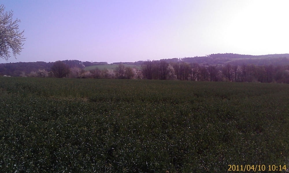
Tour gallery
Tour map and elevation profile
Minimum height 220 m
Maximum height 398 m
More about the tour author
|
|
Astro |
Comments

Mit dem Auto (A70, Ausfahrt Knetzgau oder Eltmann, dann B26 bis nach 97475 Zeil am Main. Oder mit dem Zug, Zeil liegt ca. in der Mitte von Schweinfurt und Bamberg
GPS tracks
Trackpoints-
GPX / Garmin Map Source (gpx) download
-
TCX / Garmin Training Center® (tcx) download
-
CRS / Garmin Training Center® (crs) download
-
Google Earth (kml) download
-
G7ToWin (g7t) download
-
TTQV (trk) download
-
Overlay (ovl) download
-
Fugawi (txt) download
-
Kompass (DAV) Track (tk) download
-
Track data sheet (pdf) download
-
Original file of the author (gpx) download
More about the tour author
|
|
Astro |
Add to my favorites
Remove from my favorites
Edit tags
Open track
My score
Rate