


Aufstieg: 6 Stunden
Abfahrt: 2 Stunden
Der Aufstieg beginnt bei der Schönaubrücke (ca. 500m vor der Gmünder Hütte - 1186m). Auf der Forststraße der Markierung folgend bis zu einer Jagdhütte (1911m - Ende der Forststraße).
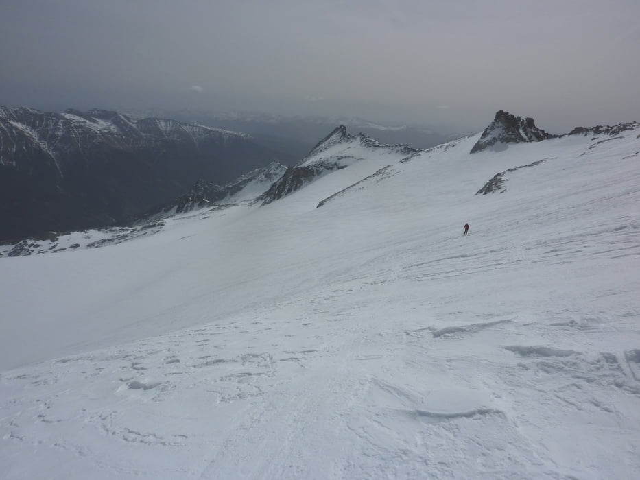
Über den Ochsenboden führt der Weg zur Villacher Hütte (2194m - unbewirtschaftet) und weiter (a) nordwestwärts bis zum Keesboden bzw. (b) dem Sommerweg folgend bis zum Hochalmkees.
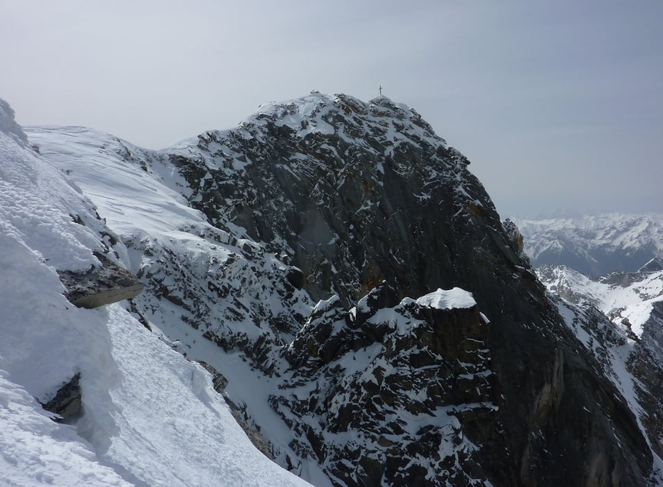
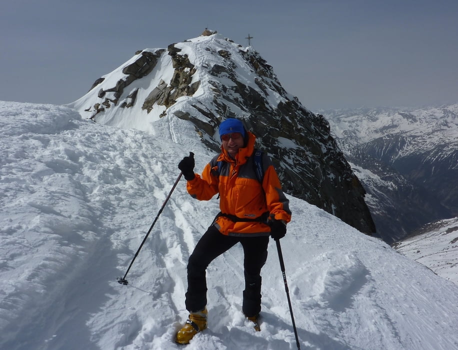
Das Hochalmkees NW Richtung Preimelscharte bis ca. 2900m und in einem Bogen nördlich um den Felskopf (3116m) im Hochalmkees herum zum Vorgipfel der Hochalmspitze 3346m (Skitdepot). Die letzten Meter ausgesetzt zum Hauptgipfel.
Tour gallery

Tour map and elevation profile
Minimum height 1086 m
Maximum height 3348 m
More about the tour author
|
|
harald07071 |
Comments

Von Gmünd (A10 Tauernautobahn) über Malta weiter auf der Malta-Hochalmstraße bis zur Schönaubrücke oder ca. 500m weiter bis zum Parkplatz der GMÜNDER HÜTTE auffahren.
GPS tracks
Trackpoints-
GPX / Garmin Map Source (gpx) download
-
TCX / Garmin Training Center® (tcx) download
-
CRS / Garmin Training Center® (crs) download
-
Google Earth (kml) download
-
G7ToWin (g7t) download
-
TTQV (trk) download
-
Overlay (ovl) download
-
Fugawi (txt) download
-
Kompass (DAV) Track (tk) download
-
Track data sheet (pdf) download
-
Original file of the author (gpx) download
More about the tour author
|
|
harald07071 |
Add to my favorites
Remove from my favorites
Edit tags
Open track
My score
Rate