


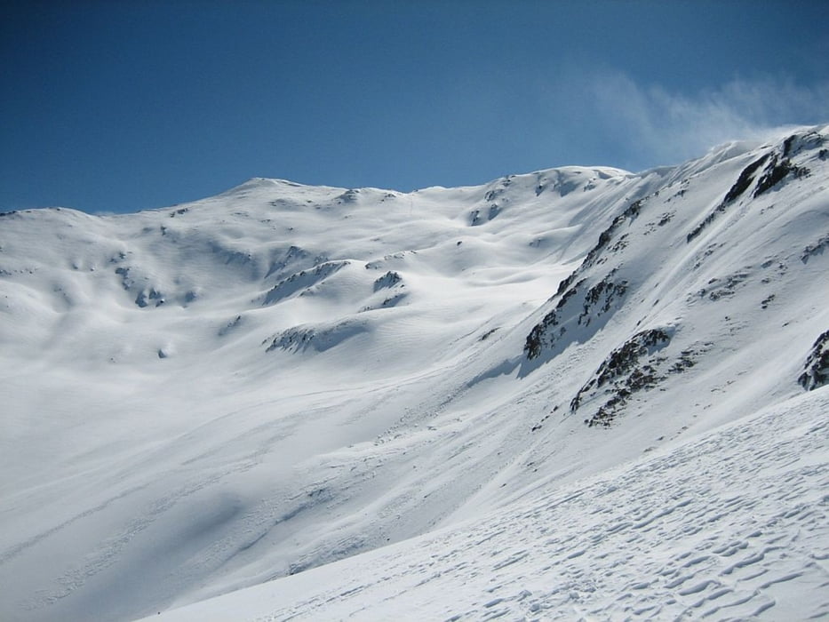
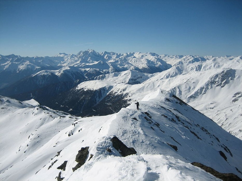
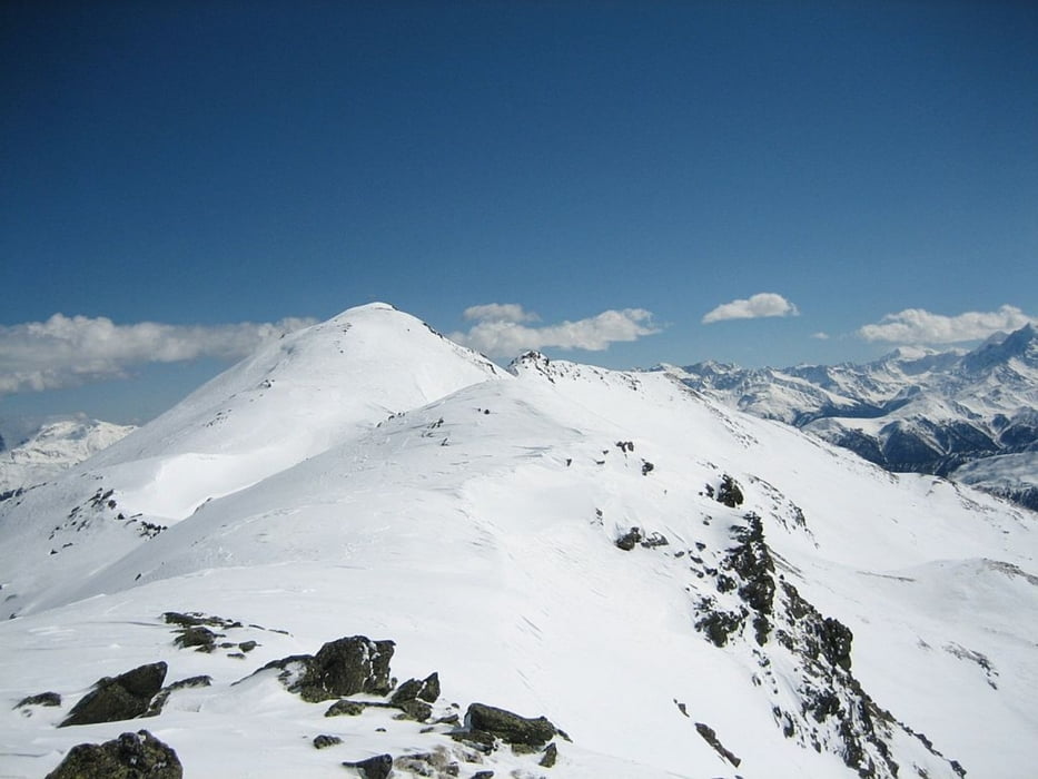
Von der Hütte geht es rechts den Bach entlang Richtung Schlinigpass. Auf halben Weg biegt man rechts ab und steigt über Anfangs steile gestufte Hänge auf, immer links vom Grat der sich vom Gipfel bis fast zur Hütte herunterzieht. im Mittelteil wird es flach bis es oben wieder steiler wird. das letzte Stück folgt man dem Südostgrat zum Vorgipfel und weiter zum Hauptgipfel. Bei sichern Verhältnissen ist eine Abfahrt ins Fallungtal über herrliche im Frühjahr oft noch Pulverschnee führende Hänge möglich. Der Standardrückweg führt über die Rassaserscharte hier muß man auf den Rückweg eine breite Hochfäche queren. Wir wählen den Wiederaufstieg zum Caist´Alta und fuhren bei idealen Verhältnissen den Nodwesthang ab. Auf halber höhe querten wir den Westgrat um dann weiter Richtung Schlinig Pass abzufahren.
Tour gallery

Tour map and elevation profile
Minimum height 2260 m
Maximum height 2944 m
More about the tour author
|
|
Rodforer |
Comments

GPS tracks
Trackpoints-
GPX / Garmin Map Source (gpx) download
-
TCX / Garmin Training Center® (tcx) download
-
CRS / Garmin Training Center® (crs) download
-
Google Earth (kml) download
-
G7ToWin (g7t) download
-
TTQV (trk) download
-
Overlay (ovl) download
-
Fugawi (txt) download
-
Kompass (DAV) Track (tk) download
-
Track data sheet (pdf) download
-
Original file of the author (gpx) download
More about the tour author
|
|
Rodforer |
Add to my favorites
Remove from my favorites
Edit tags
Open track
My score
Rate