Login

Forgotten password?

Cookies have to be accepted!
Your browser's cookie functionality is disabled. Please enable this functionality.

Not a member yet?

Register now
Login

Available for registred users only

Log in to use this feature.

Forgotten password?

Cookies have to be accepted!
Your browser's cookie functionality is disabled. Please enable this functionality.

Not a member yet?

Register now
Filter
Categories
Advanced filters
  • Distance (km)
  • Height
Save filters Reset filter

TrackRank

QRCode

Technical data

Distance32,1 km Height768 m Way down673 m Duration04:30 h:m Date14.04.2011
Scores Author Landscape Fun factor Fitness Technique

Statistics

538 Views Scores 67 Downloads Average
Rate
  • Track data sheet
  • Directions
  • Downloads
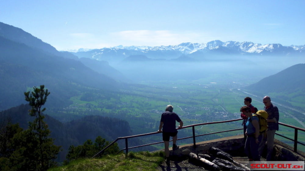
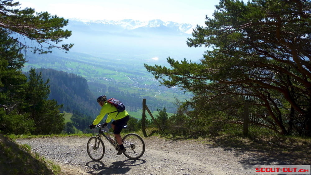
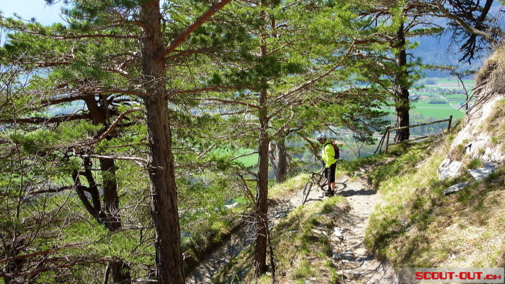
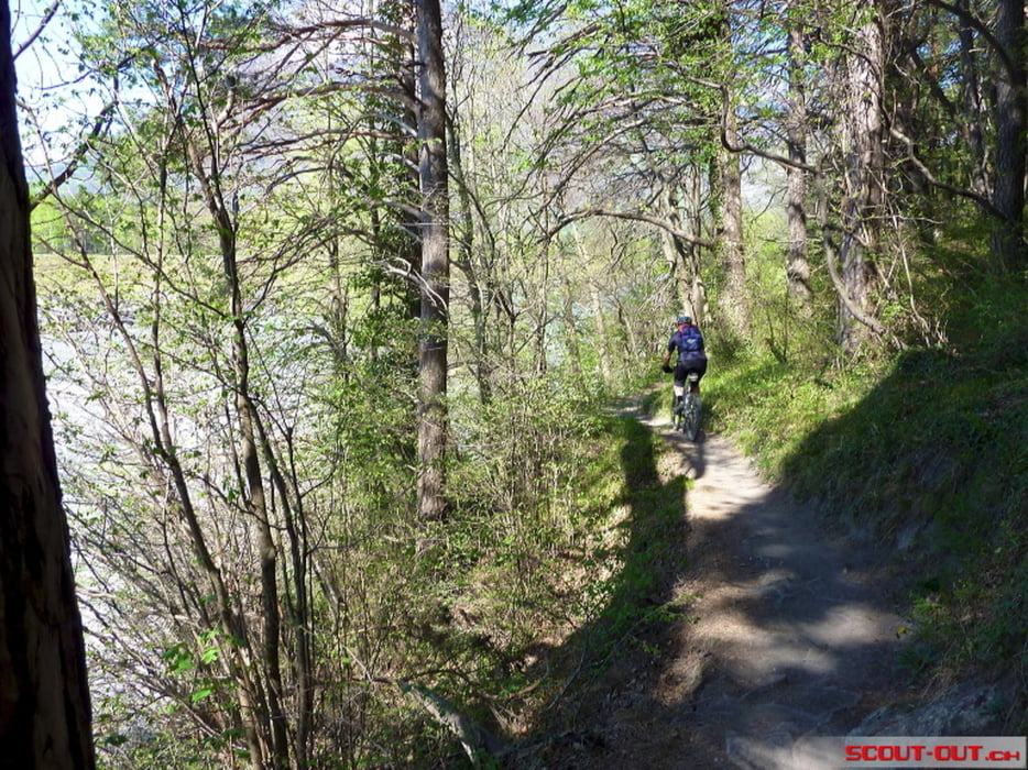
Schöne Tour auf den Regitzer Spitz oberhalb Sargans mit guter Bergstrasse. Downwill mit SingleTrail und teils sehr engen Kurfen.

Further information at

http://www.scout-out.ch/foto/regitzerspitz/

Tour gallery

Tour map and elevation profile

  • Open Street Map
  • Google
Minimum height 390 m Maximum height 1138 m Detailed view

More about the tour author

Tricky
Member since 2011

Send private message

Comments

Gute Parkplatz möglichkeit beim Hotel "Park Hotel Pizol". Nach der Tour auch Ideal um was zu Essen oder Trinken.

GPS tracks

Trackpoints
  • GPX / Garmin Map Source (gpx) download
  • TCX / Garmin Training Center® (tcx) download
  • CRS / Garmin Training Center® (crs) download
  • Google Earth (kml) download
  • G7ToWin (g7t) download
  • TTQV (trk) download
  • Overlay (ovl) download
  • Fugawi (txt) download
  • Kompass (DAV) Track (tk) download
  • Track data sheet (pdf) download
  • Original file of the author (gpx) download

More about the tour author

Tricky
Member since 2011

Send private message
Share track
Add to my favorites
Remove from my favorites
Edit tags
My score
Rate
Track: Regitzer Spitz
Type: Mountain bike
Distance: 32,1 km
Evaluated on:
Duration:
Day(s)
Hour(s)
Minute(s)
Score: Landscape Fun factor Fitness Technique